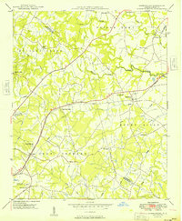
1949 Map of Harrisburg
USGS Topo · Published 1949About this map
The boundary between Cabarrus and Mecklenburg counties defines the landscape of this 1948 survey, where the Southern railroad connects the small railway nodes of Harrisburg and Newell. The area is characterized by a dense network of rural infrastructure, including many family and community landmarks such as Pitts Mission Ch, Siloam Ch, and Holly Grove Ch. Educational sites like the Newell High Sch and Oak Grove Sch served the growing population of the Crab Orchard and Poplar Tent districts.
Find a feature on this map
32 named features on this map. Tap any name to fly to it.
Don’t see what you’re looking for? This feature index may not catch every label — zoom into the map to look around manually.
Map Details
Editions of this 1949 Harrisburg Map
This is the sole edition of this map. No revisions or reprints were ever made.
Other maps of this area

1905 · Charlotte
USGS Topo · 1:48,000

1907 · Charlotte
USGS Topo · 1:62,500

1941 · Charlotte
USGS Topo · 1:125,000

1942 · Charlotte
USGS Topo · 1:125,000

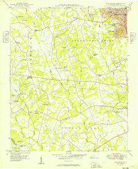
1948 · Derita
USGS Topo · 1:24,000

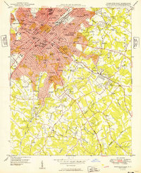
1948 · Charlotte East
USGS Topo · 1:24,000
1949 · Kannapolis
USGS Topo · 1:24,000
1949 · Charlotte East
USGS Topo · 1:24,000
1949 · Wilgrove
USGS Topo · 1:24,000

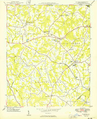
1949 · Midland
USGS Topo · 1:24,000