
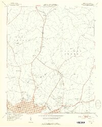
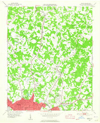
1948 Map of Derita
USGS Topo · Published 1952About this map
Derita and Croft serve as the primary hubs in this post-war landscape north of Charlotte, where a network of rural churches and schoolhouses still defines the community structure. The presence of Derita Mineral Springs and the Southern States Fairgrounds near Little Sugar Creek highlights the area's role as a transition point between the expanding urban reach of the city and the agricultural lands of Paw Creek and Crab Orchard.
Find a feature on this map
51 named features on this map. Tap any name to fly to it.
Don’t see what you’re looking for? This feature index may not catch every label — zoom into the map to look around manually.
Map Details
Editions of this 1948 Derita Map
3 editions found
Other maps of this area

1905 · Charlotte
USGS Topo · 1:48,000

1907 · Charlotte
USGS Topo · 1:62,500

1941 · Charlotte
USGS Topo · 1:125,000

1942 · Charlotte
USGS Topo · 1:125,000

1948 · Paw Creek
USGS Topo · 1:24,000

1948 · Charlotte East
USGS Topo · 1:24,000

1948 · Charlotte West
USGS Topo · 1:24,000

1949 · Kannapolis
USGS Topo · 1:24,000

1949 · Charlotte West
USGS Topo · 1:24,000

1949 · Charlotte East
USGS Topo · 1:24,000