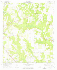
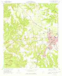
1974 Map of Fort Valley East
USGS Topo · Published 1976About this map
The eastern reaches of Fort Valley anchor this mid-1970s landscape, where the agricultural traditions of Peach County meet the branching headwaters of the regional drainage system. The terrain is defined by the deep incisions of Mossy Creek and Buckeye Creek, which carve through the plateau and dictate the placement of early settlements and rural crossroads. This period shows a transition in land use, as established community centers like Powersville and Bliss remain connected by the Central of Georgia rail line, even as modern infrastructure like the Perry-Fort Valley Airport begins to expand the area's footprint.
Find a feature on this map
40 named features on this map. Tap any name to fly to it.
Don’t see what you’re looking for? This feature index may not catch every label — zoom into the map to look around manually.
Map Details
Editions of this 1974 Fort Valley East Map
This is the sole edition of this map. No revisions or reprints were ever made.
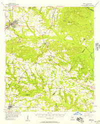
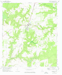
Other maps of this area

1956 · Fort Valley
USGS Topo · 1:62,500
1956 · Perry
USGS Topo · 1:62,500

1956 · Warner Robins
USGS Topo · 1:62,500

1957 · Macon
USGS Topo · 1:250,000

1958 · Macon
USGS Topo · 1:250,000

1964 · Macon
USGS Topo · 1:250,000
1972 · Marshallville
USGS Topo · 1:24,000
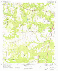
1972 · Perry West
USGS Topo · 1:24,000
1973 · Fort Valley West
USGS Topo · 1:24,000
1973 · Warner Robins SW
USGS Topo · 1:24,000