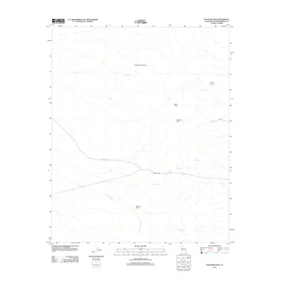
2012 Map of Fountain Peak
USGS Topo · Published 2012About this map
The Providence Mountains dominate this high-desert landscape of San Bernardino County, where dramatic elevation changes define the local geography. Significant peaks such as Fountain Peak and Edgar Peak overlook a network of hydrologic features essential to the area's history, including Cornfield Spring, Goldstone Spring, and Foshay Spring. The presence of these reliable water sources in an arid environment explains the placement of early travel routes and ranching interests.
Find a feature on this map
14 named features on this map. Tap any name to fly to it.
Don’t see what you’re looking for? This feature index may not catch every label — zoom into the map to look around manually.
Map Details
Editions of this 2012 Fountain Peak Map
This is the sole edition of this map. No revisions or reprints were ever made.
Other maps of this area

1910 · Ivanpah
USGS Topo · 1:250,000

1912 · Ivanpah
USGS Topo · 1:250,000

1942 · Ivanpah
USGS Topo · 1:250,000

1942 · Amboy
USGS Topo · 1:250,000

1943 · Amboy
USGS Topo · 1:250,000

1947 · Kingman
USGS Topo · 1:250,000

1948 · Kingman
USGS Topo · 1:250,000

1954 · Needles
USGS Topo · 1:250,000

1954 · Kingman
USGS Topo · 1:250,000

1955 · Kingman
USGS Topo · 1:250,000