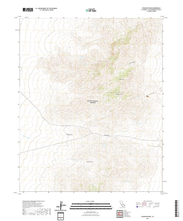
2021 Map of Fountain Peak
USGS Topo · Published 2021About this map
The Providence Mountains dominate the center of this high-desert landscape, located entirely within the Mojave National Preserve. Two prominent summits, Edgar Peak and Fountain Peak, anchor the range and provide significant elevation relief against the surrounding Mojave Desert. The presence of numerous water sources, including Cornfield Spring, Crystal Spring, and Foshay Spring, suggests the critical importance of these isolated points for desert transit and wildlife in an otherwise arid environment.
Find a feature on this map
16 named features on this map. Tap any name to fly to it.
Don’t see what you’re looking for? This feature index may not catch every label — zoom into the map to look around manually.
Map Details
Editions of this 2021 Fountain Peak Map
This is the sole edition of this map. No revisions or reprints were ever made.
Other maps of this area

1910 · Ivanpah
USGS Topo · 1:250,000

1912 · Ivanpah
USGS Topo · 1:250,000

1942 · Ivanpah
USGS Topo · 1:250,000

1942 · Amboy
USGS Topo · 1:250,000

1943 · Amboy
USGS Topo · 1:250,000

1947 · Kingman
USGS Topo · 1:250,000

1948 · Kingman
USGS Topo · 1:250,000

1954 · Needles
USGS Topo · 1:250,000

1954 · Kingman
USGS Topo · 1:250,000

1955 · Kingman
USGS Topo · 1:250,000