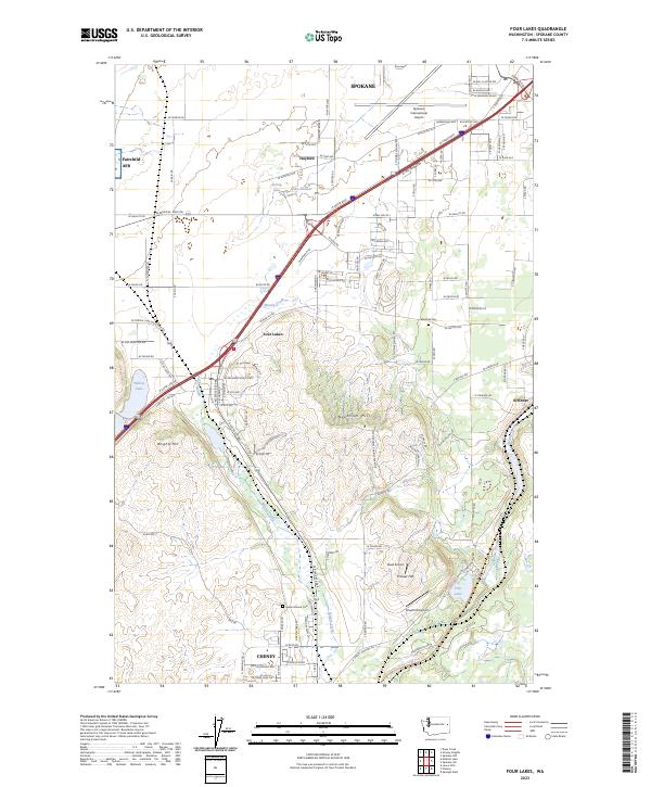
2023 Map of Four Lakes
USGS Topo · Published 2023About this map
Four Lakes and the northern outskirts of Cheney anchor this southwestern Spokane County landscape, where the basalt-rimmed wetlands and channeled scablands meet aviation and transportation hubs. The terrain is characterized by prominent rises like Needham Hill and Wrights Hill, which overlook a network of seasonal water bodies including Spring Lake, Lake Eleanor, and Willow Lake. Transportation infrastructure dominates the central corridor, with the major thoroughfare of W Geiger Blvd connecting the industrial and logistical zones near Spokane International Airport and Fairchild AFB.
Find a feature on this map
65 named features on this map. Tap any name to fly to it.
Don’t see what you’re looking for? This feature index may not catch every label — zoom into the map to look around manually.
Map Details
Editions of this 2023 Four Lakes Map
This is the sole edition of this map. No revisions or reprints were ever made.
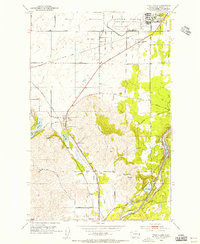
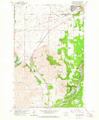
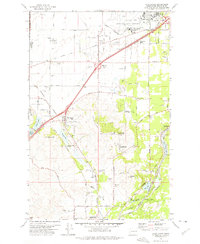
Historical Maps of Spokane Through Time
4 maps found