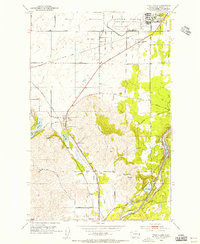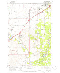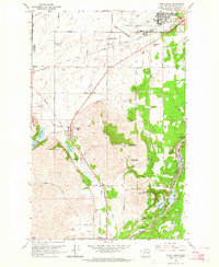
1963 Map of Four Lakes
USGS Topo · Published 1964About this map
Geiger Field and the surrounding Geiger AFB installation dominate the northeastern quadrant of this mid-century landscape, highlighting a period of significant military and aviation presence in Spokane County. The strategic importance of the region is further evidenced by the Air Nat Guard facilities and the FCC Monitoring Station located near Hayford. This era marks a transition where traditional agricultural and rail-based settlements like Four Lakes and Scribner exist alongside expanding infrastructure such as the Four Lakes Substation and various Gravel Pits.
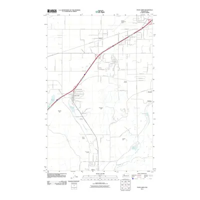
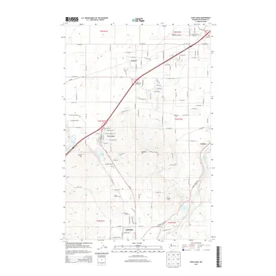
Find a feature on this map
52 named features on this map. Tap any name to fly to it.
Don’t see what you’re looking for? This feature index may not catch every label — zoom into the map to look around manually.
Map Details
Editions of this 1963 Four Lakes Map
This is the sole edition of this map. No revisions or reprints were ever made.
Historical Maps of Spokane Through Time
8 maps found