
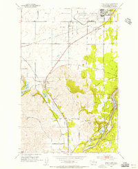
1954 Map of Medical Lake
USGS Topo · Published 1956About this map
Medical Lake serves as the focal point of this 1950s survey, surrounded by a concentration of state institutional and military facilities in Spokane County. The landscape is defined by a chain of water bodies including West Medical Lake, Silver Lake, and Clear Lake, which shape the local geography and transportation routes. Significant state-run infrastructure is prominent here, notably the Eastern State Hospital and Lakeland Village, both situated near the western shores of the central lakes.
Find a feature on this map
47 named features on this map. Tap any name to fly to it.
Don’t see what you’re looking for? This feature index may not catch every label — zoom into the map to look around manually.
Map Details
Editions of this 1954 Medical Lake Map
This is the sole edition of this map. No revisions or reprints were ever made.
Other maps of this area

1943 · Medical Lake
USGS Topo · 1:62,500

1945 · Reardan
USGS Topo · 1:62,500

1953 · Reardan
USGS Topo · 1:62,500

1954 · Airway Heights
USGS Topo · 1:24,000

1954 · Medical Lake
USGS Topo · 1:62,500

1954 · Cheney
USGS Topo · 1:62,500
1954 · Four Lakes
USGS Topo · 1:24,000

1954 · Sprague
USGS Topo · 1:62,500

1954 · Deep Creek
USGS Topo · 1:24,000

1955 · Spokane
USGS Topo · 1:250,000