
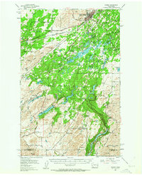
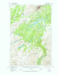
1954 Map of Cheney
USGS Topo · Published 1956About this map
The Eastern Washington College of Education anchors the north of this landscape, overlooking a complex network of rail lines and wetlands. Extensive railroad infrastructure defines the region, with the Union Pacific and Northern Pacific converging near the town center of Cheney. The map reveals a transition from these early transportation hubs to the preservation of the Turnbull National Wildlife Refuge, where a labyrinth of water bodies like McDowell Lake and Cossalman Lake fill the Channeled Scablands. Local history is deeply embedded in the rural surroundings, marked by the Capt J Mullan Historic Monument and the sites of early education such as Harmony School (Aban'd) and Cherry Springs Sch (Aban'd). From the small settlement of Amber to the depths of Badger Lake, the survey records a mid-century balance of academic growth, heavy industry, and wilderness conservation.
Find a feature on this map
63 named features on this map. Tap any name to fly to it.
Don’t see what you’re looking for? This feature index may not catch every label — zoom into the map to look around manually.
Map Details
Editions of this 1954 Cheney Map
Other maps of this area

1901 · Spokane
USGS Topo · 1:125,000

1903 · Oakesdale
USGS Topo · 1:125,000

1905 · Oakesdale
USGS Topo · 1:125,000

1943 · Medical Lake
USGS Topo · 1:62,500

1945 · Reardan
USGS Topo · 1:62,500

1950 · Spokane SW
USGS Topo · 1:24,000

1950 · Spokane
USGS Topo · 1:62,500

1953 · Reardan
USGS Topo · 1:62,500

1954 · Medical Lake
USGS Topo · 1:24,000

1954 · Medical Lake
USGS Topo · 1:62,500