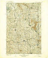
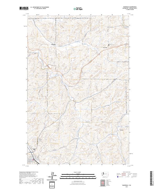
1903 Map of Oakesdale
USGS Topo · Published 1903About this map
Steptoe Butte and Tekoa Mountain rise above a landscape defined by an intensive network of turn-of-the-century rail lines. This survey captures the complex intersection of the Northern Pacific RR and the Oregon Railroad & Navigation Co, which drove the rapid development of agricultural hubs like Oakesdale and Rosalia. The map records the early borderlands between Washington and Idaho, where towns such as Tekoa and Farmington sit against the Boundary Line. From the sugar beet industry in Waverly to the grain centers of Garfield and Fairfield, the map documents a region at its peak of rail-dependent growth. Smaller settlements and stops such as Summit Siding, Donahue, and Plaza are clearly positioned, alongside topographical markers like Naff Ridge and Dunlap Butte, providing a detailed look at the rural infrastructure of the Palouse and Spokane regions at the dawn of the new century.
Find a feature on this map
51 named features on this map. Tap any name to fly to it.
Don’t see what you’re looking for? This feature index may not catch every label — zoom into the map to look around manually.
Map Details
Editions of this 1903 Oakesdale Map
This is the sole edition of this map. No revisions or reprints were ever made.
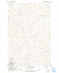
Historical Maps of Tekoa Through Time
8 maps found