
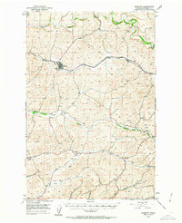
1950 Map of Endicott
USGS Topo · Published 1952About this map
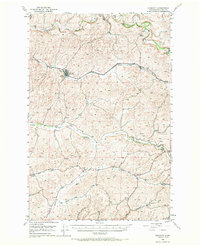
Endicott and the surrounding agricultural uplands of Whitman County are defined by a series of parallel drainage systems and the vital Union Pacific rail corridor. This mid-century survey illustrates the rural landscape prior to significant modernization, where the economy was anchored by small rail-side settlements like Thera and the community hubs of Lacrosse Grange and Wilcox Grange. The terrain is characterized by "flats"—relatively level valley floors between rolling hills—including Rebel Flat and Union Flat, which directed the flow of both water and commerce.
Find a feature on this map
21 named features on this map. Tap any name to fly to it.
Don’t see what you’re looking for? This feature index may not catch every label — zoom into the map to look around manually.
Map Details
Editions of this 1950 Endicott Map
Other maps of this area

1903 · Oakesdale
USGS Topo · 1:125,000

1905 · Oakesdale
USGS Topo · 1:125,000

1910 · Pullman
USGS Topo · 1:125,000

1950 · La Crosse
USGS Topo · 1:62,500

1950 · Penawawa
USGS Topo · 1:62,500

1950 · Hay
USGS Topo · 1:62,500

1952 · Hay
USGS Topo · 1:62,500

1952 · La Crosse
USGS Topo · 1:62,500

1955 · Pullman
USGS Topo · 1:250,000

1955 · Spokane
USGS Topo · 1:250,000