
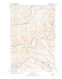
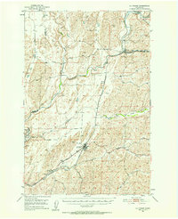
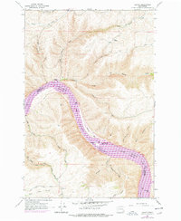
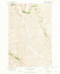
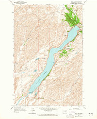
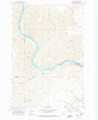
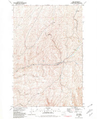
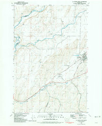
1952 Map of La Crosse
USGS Topo · Published 1952About this map
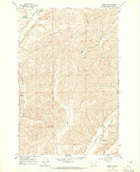
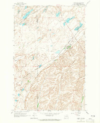
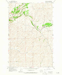
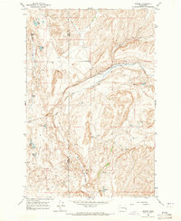
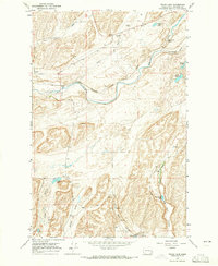
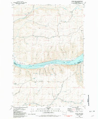
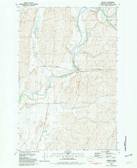
Palouse River and its deeply incised tributaries define the landscape of western Whitman County in this mid-century survey. The terrain is characterized by broad flats such as Union Flat Creek and Rebel Flat Creek, which carve through the plateau. The Union Pacific railroad serves as the primary artery for the region, threading through the coulees and connecting the grain-country settlements of La Crosse, Winona, and Sutton.
Find a feature on this map
20 named features on this map. Tap any name to fly to it.
Don’t see what you’re looking for? This feature index may not catch every label — zoom into the map to look around manually.
Map Details
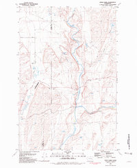
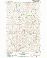
Editions of this 1952 La Crosse Map
This is the sole edition of this map. No revisions or reprints were ever made.
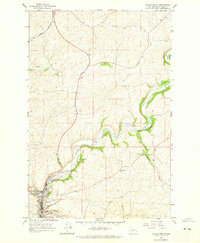
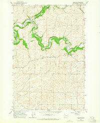
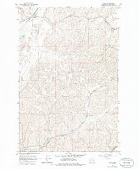
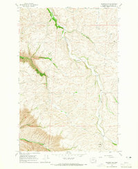
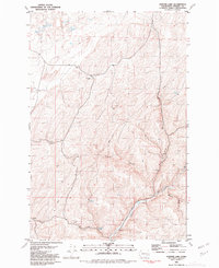
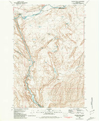
Historical Maps of LaCrosse Through Time
61 maps found
1950 Hay
Whitman County, WA
1950 La Crosse
Whitman County, WA

1952 Hay
Whitman County, WA
1952 La Crosse
Whitman County, WA
1964 Almota
Whitman County, WA
1964 Colfax North
Whitman County, WA
1964 Colfax South
Whitman County, WA

1964 Diamond
Whitman County, WA
1964 Elberton
Whitman County, WA
1964 Ewan
Whitman County, WA
1964 Ewartsville
Whitman County, WA
1964 Lamont NE
Whitman County, WA
1964 Lamont NW
Whitman County, WA
1964 Pine City
Whitman County, WA
1964 Revere
Whitman County, WA
1964 Rock Lake
Whitman County, WA
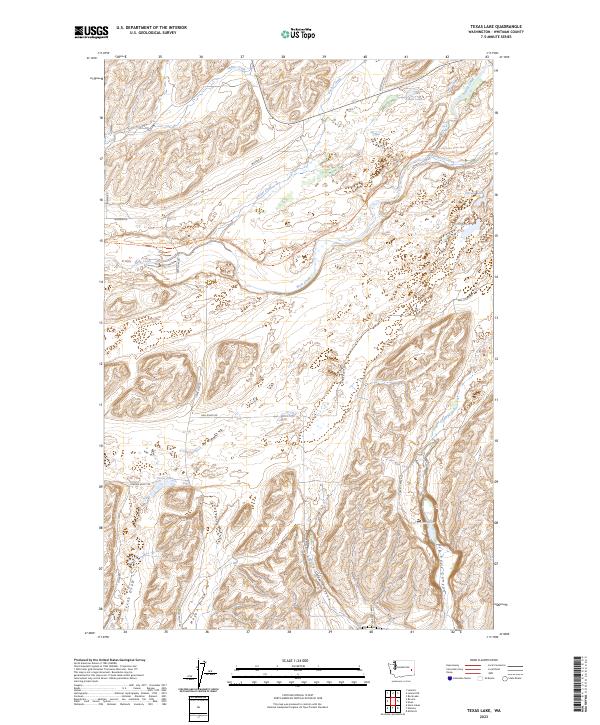
1964 Texas Lake
Whitman County, WA
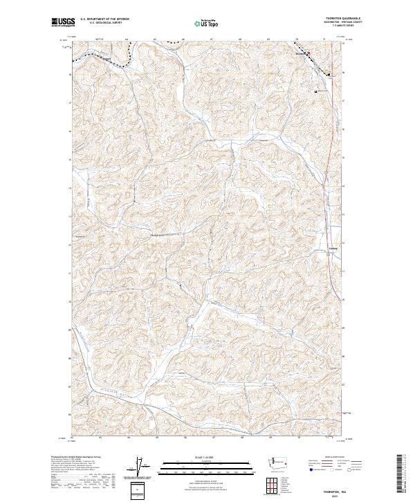
1964 Thornton
Whitman County, WA
1964 Wilcox
Whitman County, WA
1971 Silcott
Whitman County, WA
1975 Moscow West
Whitman County, WA
1981 Central Ferry
Whitman County, WA
1981 Dusty
Whitman County, WA
1981 Hay
Whitman County, WA
1981 Honn Lakes
Whitman County, WA
1981 Hooper Lake
Whitman County, WA
1981 La Crosse East
Whitman County, WA
1981 La Crosse West
Whitman County, WA
1981 Little Penawawa Creek
Whitman County, WA
1981 Palouse Falls
Whitman County, WA
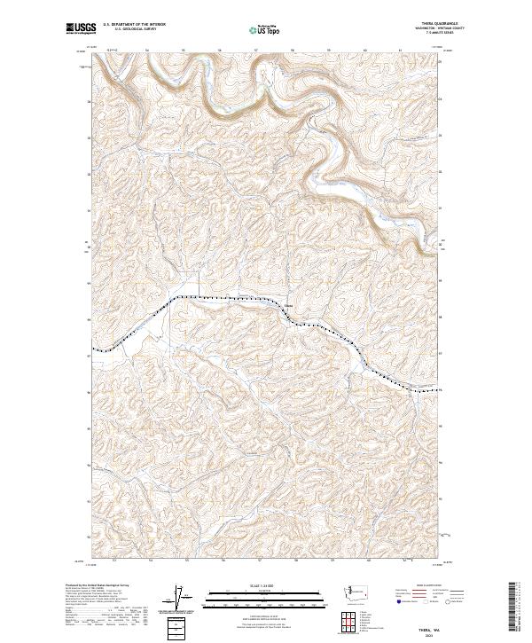
1981 Thera
Whitman County, WA
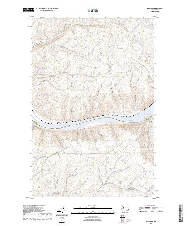
1981 Wades Bar
Whitman County, WA
1981 Winona
Whitman County, WA
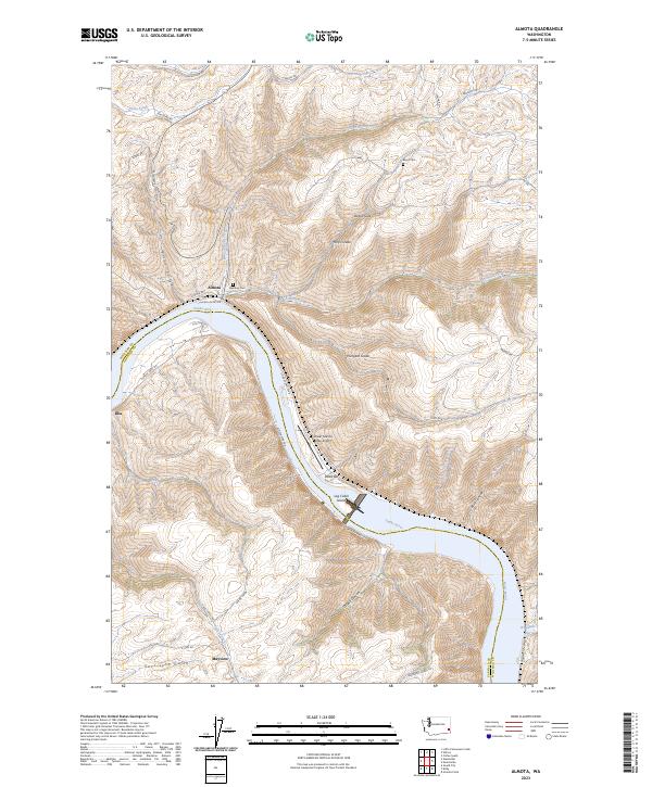
2023 Almota
Whitman County, WA
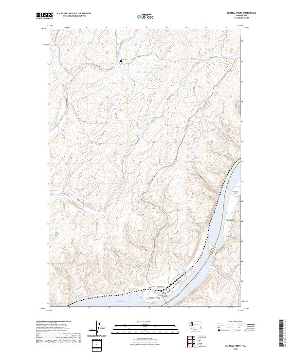
2023 Central Ferry
Whitman County, WA
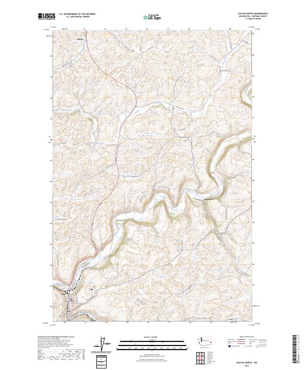
2023 Colfax North
Whitman County, WA
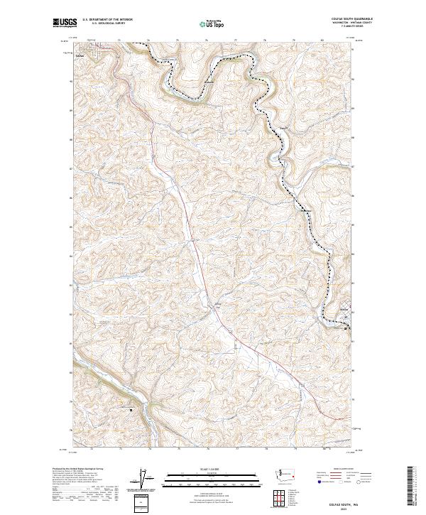
2023 Colfax South
Whitman County, WA
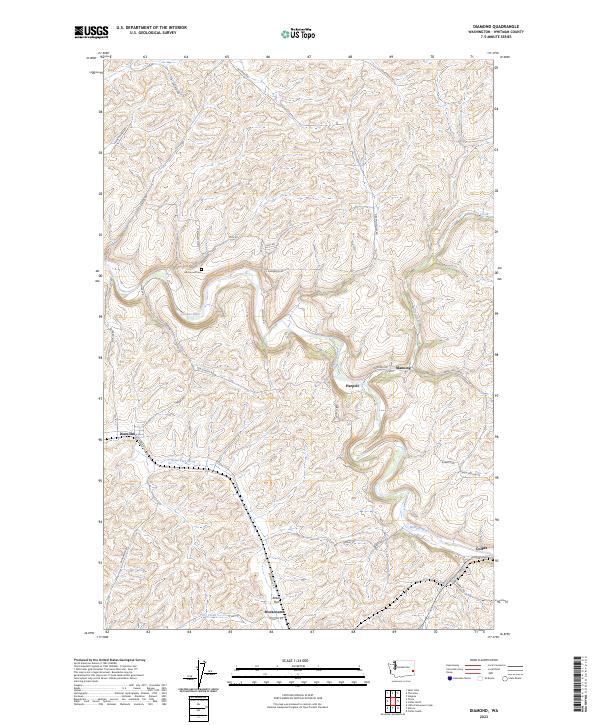
2023 Diamond
Whitman County, WA
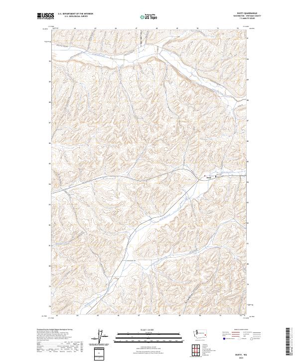
2023 Dusty
Whitman County, WA
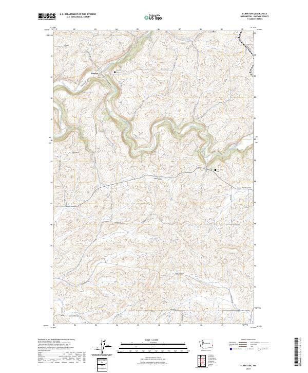
2023 Elberton
Whitman County, WA
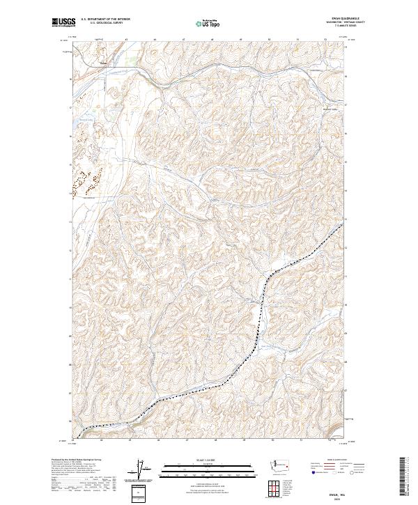
2023 Ewan
Whitman County, WA
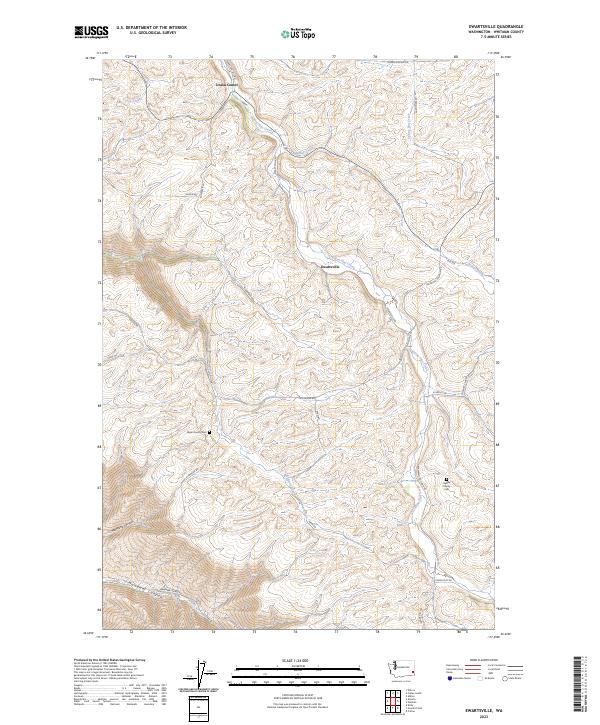
2023 Ewartsville
Whitman County, WA
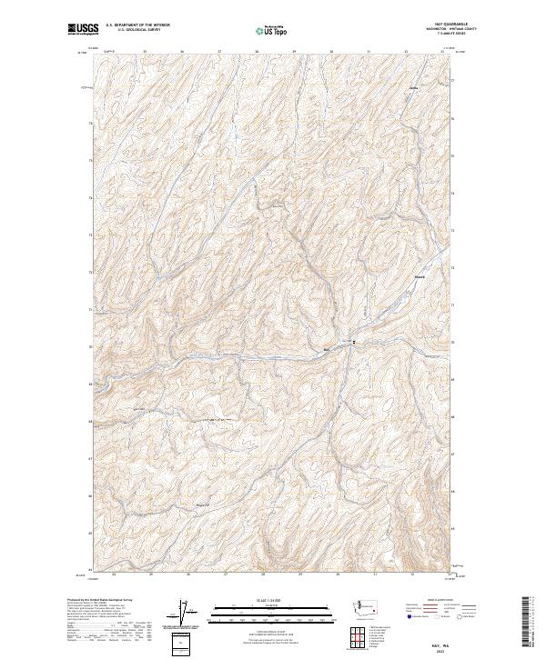
2023 Hay
Whitman County, WA
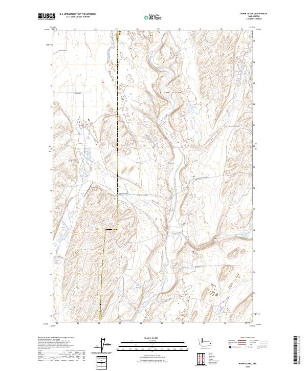
2023 Honn Lakes
Whitman County, WA
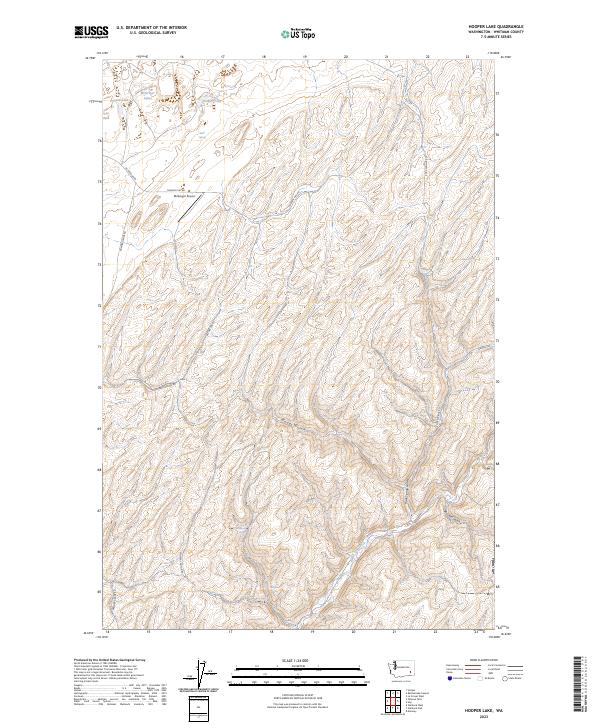
2023 Hooper Lake
Whitman County, WA
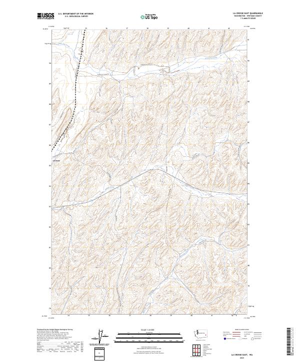
2023 La Crosse East
Whitman County, WA
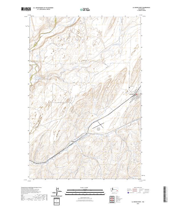
2023 La Crosse West
Whitman County, WA
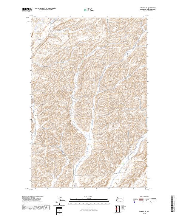
2023 Lamont NE
Whitman County, WA
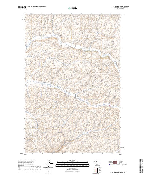
2023 Little Penawawa Creek
Whitman County, WA
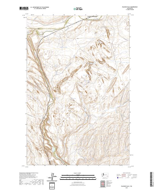
2023 Palouse Falls
Whitman County, WA
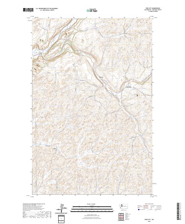
2023 Pine City
Whitman County, WA
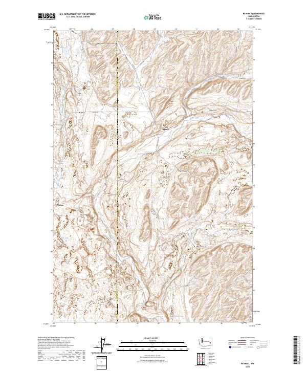
2023 Revere
Whitman County, WA
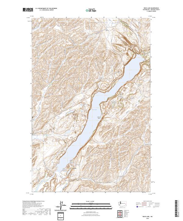
2023 Rock Lake
Whitman County, WA
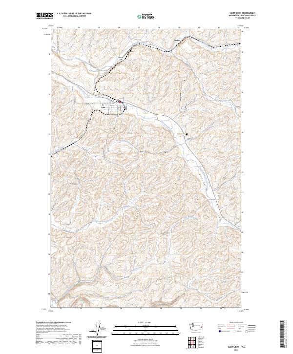
2023 Saint John
Whitman County, WA
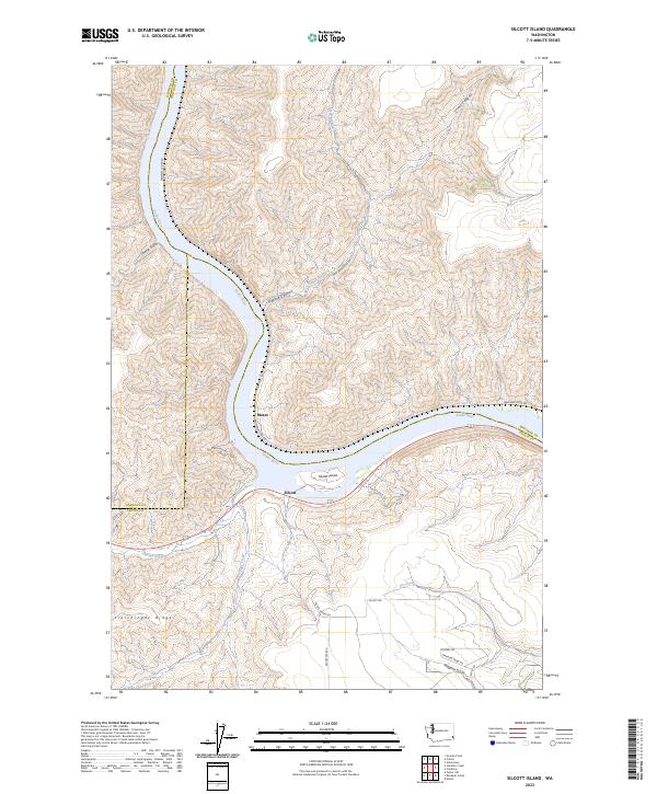
2023 Silcott Island
Whitman County, WA
2023 Texas Lake
Whitman County, WA
2023 Thera
Whitman County, WA
2023 Thornton
Whitman County, WA
2023 Wades Bar
Whitman County, WA
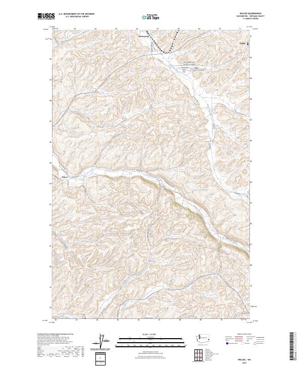
2023 Wilcox
Whitman County, WA
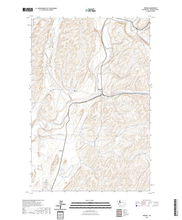
2023 Winona
Whitman County, WA