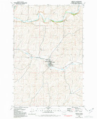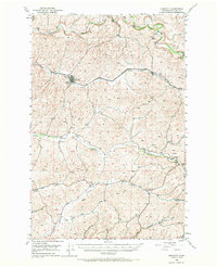
1950 Map of Endicott
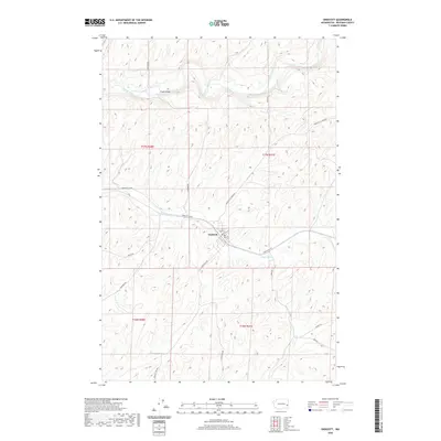
USGS Topo · Published 1970About this map
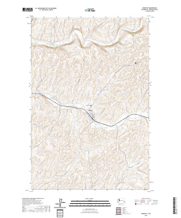
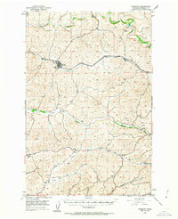
Endicott serves as the primary hub of this eastern Washington landscape, situated where the Union Pacific railroad line follows the contours of Rebel Flat Creek. The area’s geography is defined by a series of parallel drainage systems, including Union Flat Creek and Alkali Flat Creek, which carve through the plateau towards the Palouse River at the northern edge of the sheet. The settlement pattern reflects a mid-century agricultural economy, dotted with community landmarks like the Lacrosse Grange and Wilcox Grange, along with small clusters at Thera and Dusty. Dozens of Windmills are recorded across the terrain, indicating the vital importance of groundwater management for the isolated farmsteads and rural schools that once populated these flats. The map also meticulously logs river mileage and infrastructure such as Fisher Bridge, providing a precise look at the rural infrastructure of Whitman County before modern highway expansion.
Find a feature on this map
36 named features on this map. Tap any name to fly to it.
Don’t see what you’re looking for? This feature index may not catch every label — zoom into the map to look around manually.
Map Details
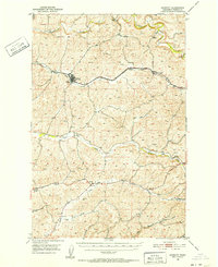
Editions of this 1950 Endicott Map
Historical Maps of Endicott Through Time
7 maps found