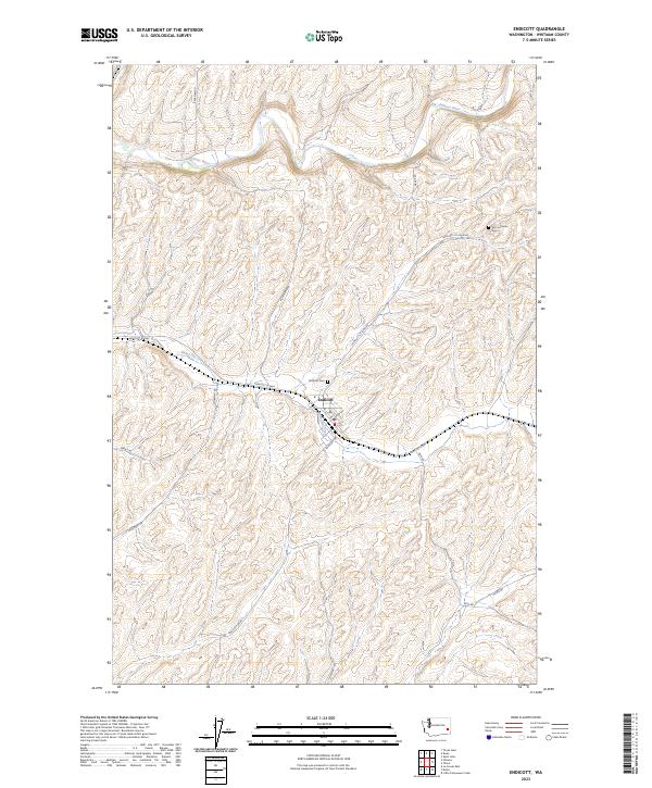
2023 Map of Endicott
USGS Topo · Published 2023About this map
Endicott stands as the central hub of this eastern Washington landscape, situated where the valley of Rebel Flat Creek cuts through the high plateau. The town's grid is tightly defined against the winding watercourse, serving as a focal point for the surrounding agricultural community. To the north, the Palouse River carves a deeper path through the terrain, illustrating the characteristic drainage patterns of Whitman County. Local history is anchored by the Endicott Cem at the edge of the settlement and the Zion Lutheran Cem located further northeast along the Endicott-St John Rd. A network of rural routes, including Endicott-W Hwy and Endicott-Sw Rd, connects the scattered farmsteads across the township lines of T17N and T16N.
Find a feature on this map
21 named features on this map. Tap any name to fly to it.
Don’t see what you’re looking for? This feature index may not catch every label — zoom into the map to look around manually.
Map Details
Editions of this 2023 Endicott Map
This is the sole edition of this map. No revisions or reprints were ever made.
Other maps of this area

1950 · La Crosse
USGS Topo · 1:62,500

1950 · Endicott
USGS Topo · 1:62,500

1952 · La Crosse
USGS Topo · 1:62,500

1955 · Pullman
USGS Topo · 1:250,000

1955 · Spokane
USGS Topo · 1:250,000

1958 · Spokane
USGS Topo · 1:250,000

1958 · Pullman
USGS Topo · 1:250,000

1964 · St. John
USGS Topo · 1:24,000

1964 · Texas Lake
USGS Topo · 1:24,000

1964 · Ewan
USGS Topo · 1:24,000