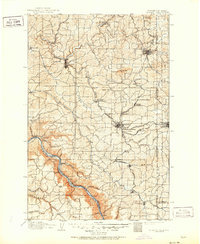
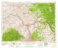
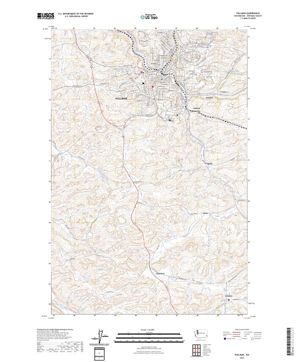
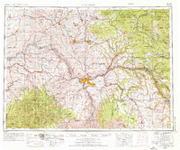
1955 Map of Pullman
USGS Topo · Published 1963About this map
Pullman and Moscow anchor this mid-century survey of the Palouse region, where the industrial and academic foundations of the Inland Northwest are clearly visible. The map details the intricate rail network essential to the grain and timber economy of the era, featuring the Camas Prairie RR and Northern Pacific RR winding through the steep breaks of the Snake River Canyon and the Clearwater River valley. Educational landmarks like Washington State University and the University of Idaho appear at the heart of their respective communities, while more remote reaches are defined by the St Joe National Forest and Umatilla National Forest. From the agricultural plateaus around Colfax to the river-junction industry at Lewiston and Clarkston, the sheet documents a landscape of dramatic elevation changes and resource-driven settlement before modern interstate expansion.
Find a feature on this map
175 named features on this map. Tap any name to fly to it.
Don’t see what you’re looking for? This feature index may not catch every label — zoom into the map to look around manually.
Map Details
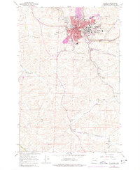
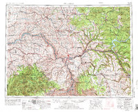
Editions of this 1955 Pullman Map
3 editions found
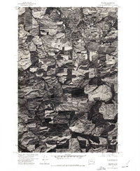
Historical Maps of Pullman Through Time
7 maps found