Loading...
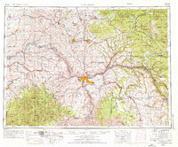
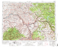
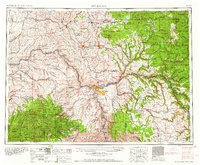
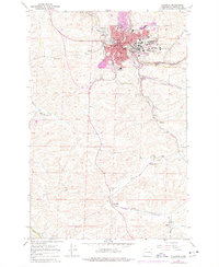
Loading map...1955 Map of Pullman
USGS Topo · Published 1976About this map
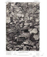
Pullman and Moscow anchor this study of the Palouse region, appearing alongside the bustling confluence of the Snake River and Clearwater River at Lewiston and Clarkston. The landscape transitions from the rolling agricultural hills of Whitman County into the rising elevations of the Palouse Range and St Joe National Forest. To the south, the Nez Perce Indian Reservation occupies a significant portion of the terrain, stretching toward the Salmon River.
Find a feature on this map
178 named features on this map. Tap any name to fly to it.
Don’t see what you’re looking for? This feature index may not catch every label — zoom into the map to look around manually.
Map Details
Date Portrayed1955
Date Published1976
PublisherU.S. Geological Survey
Map TypeTopographic
Scale1:250,000
Physical Dimensions26.7 x 22.1 inches
Editions of this 1955 Pullman Map
3 editions found

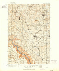
Historical Maps of Pullman Through Time
7 maps found

Featured Locations
Source Details
SourceU.S. Geological Survey
CopyrightPublic Domain