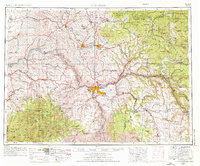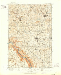
1910 Map of Pullman
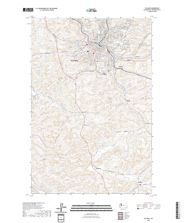
USGS Topo · Published 1951About this map
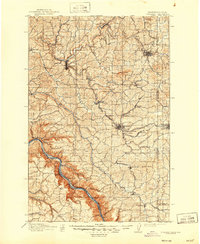
The State College of Washington and the University of Idaho anchor this borderland survey, marking the educational and cultural centers of the Palouse region in the first decade of the 1900s. The landscape is defined by its deep canyons and fertile agricultural plains, notably Rebel Flat and Union Flat, where the complex topography of the Snake River corridor transitions into rolling uplands. Along the river, a string of sediment bars like Davis Bar and Truax Bar reveal the era's navigational and geological character before modern modifications.
Find a feature on this map
88 named features on this map. Tap any name to fly to it.
Don’t see what you’re looking for? This feature index may not catch every label — zoom into the map to look around manually.
Map Details
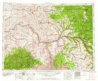
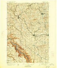
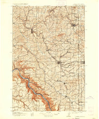
Editions of this 1910 Pullman Map
5 editions found

Historical Maps of Pullman Through Time
7 maps found