
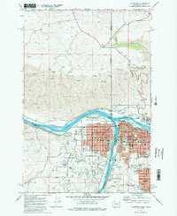
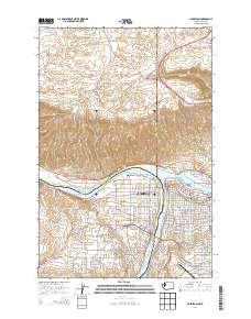
1945 Map of Clarkston
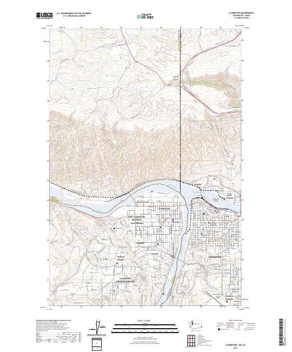
USGS Topo · Published 1965About this map
Snake River and Clearwater River converge at the center of this 1945 study, defining the interstate border and the industrial heart of Clarkston and Lewiston. The landscape is shaped by the presence of the Camas Prairie RR, which follows the riverbank past Moses Siding and Wilma, connecting local agriculture to regional transport hubs like Transfer Siding. Outside the growing urban centers, the map reveals a rugged terrain of deep gulches and ridges, such as Chambers Gulch and Weissenfels Ridge, where isolated sites like Huggins Ranch and Stout Ranch suggest the area's ongoing ranching and farming heritage. Educational and civic foundations are visible through the Normal High School and the Court House in the twin cities, while the irrigation-dependent settlement at Vineland and the older riverside town of Asotin highlight the importance of water management in this arid region.
Find a feature on this map
53 named features on this map. Tap any name to fly to it.
Don’t see what you’re looking for? This feature index may not catch every label — zoom into the map to look around manually.
Map Details
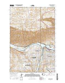
Editions of this 1945 Clarkston Map
This is the sole edition of this map. No revisions or reprints were ever made.
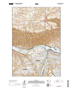
Historical Maps of Lewiston Through Time
10 maps found
1945 Clarkston
Asotin County, WA

1948 Clarkston
Asotin County, WA
1971 Clarkston
Asotin County, WA
1975 Clarkston
Asotin County, WA
1981 Clarkston
Asotin County, WA
2011 Clarkston
Asotin County, WA
2014 Clarkston
Asotin County, WA
2017 Clarkston
Asotin County, WA
2020 Clarkston
Asotin County, WA
2023 Clarkston
Asotin County, WA