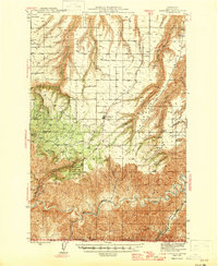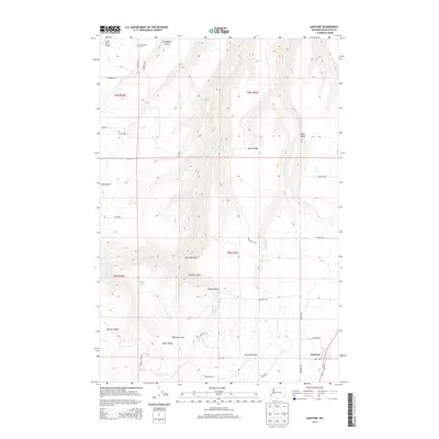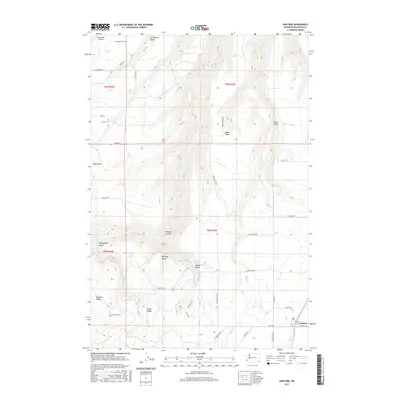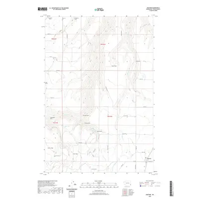
1944 Map of Anatone
USGS Topo · Published 1959About this map
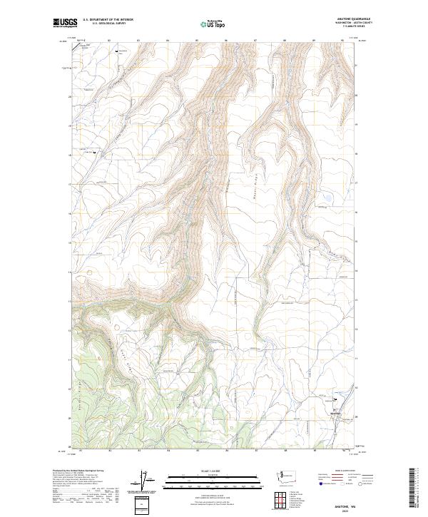
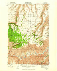
The Grande Ronde River carves a deep, sinuous path through this corner of Asotin County, defining the drainage patterns of the southeastern Washington high country. In the 1940s, the small settlement of Anatone served as a central upland hub, while the Ausman Ranch and Cloverland illustrate the agricultural and ranching footprints established in the plateaus above the river canyons. The landscape transition is marked by the presence of the Umatilla Nat Forest and Fields Spring State Park, where the high-altitude Big Butte provided a strategic fire lookout position. Numerous deeply incised gulches, such as Montgomery Gulch and Nims Gulch, feed into larger tributaries like Joseph Creek, creating a complex network of ridges including Bennett Ridge and Behrens Ridge. This topography dictated the placement of early schools like Lake Sch and local cattle routes through Deer Flat.
Find a feature on this map
42 named features on this map. Tap any name to fly to it.
Don’t see what you’re looking for? This feature index may not catch every label — zoom into the map to look around manually.
Map Details
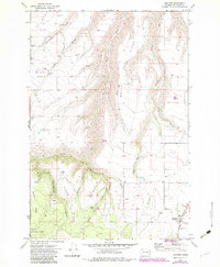
Editions of this 1944 Anatone Map
This is the sole edition of this map. No revisions or reprints were ever made.
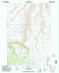
Historical Maps of Anatone Through Time
9 maps found