Loading...
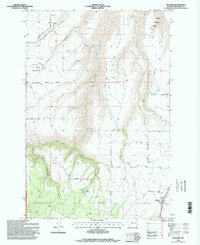
Loading map...1995 Map of Anatone
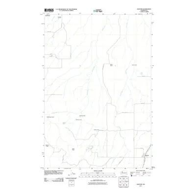
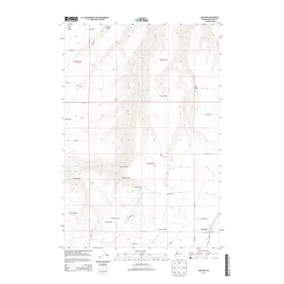
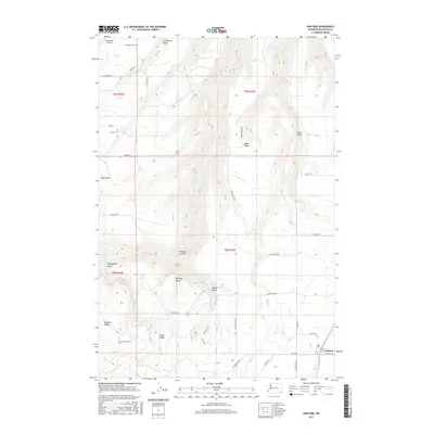
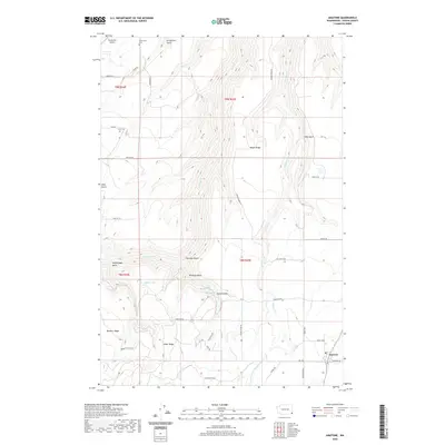
USGS Topo · Published 1998About this map
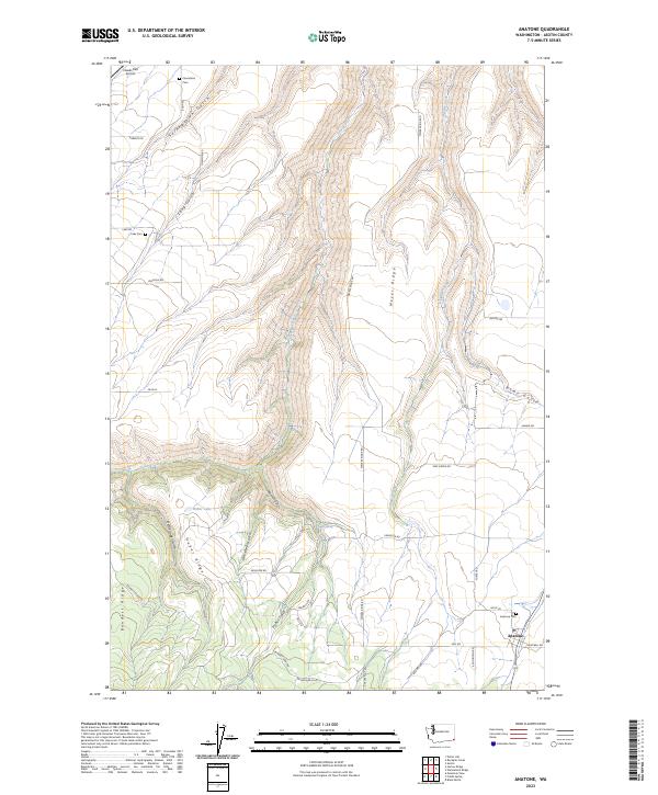
Anatone serves as the primary hub in this corner of Asotin County, situated near the intersection of Forgey Road and Mill Road. The landscape is defined by a series of deep drainages and prominent rises, including Meyer Ridge, Heffelfinger Ridge, and Bennett Ridge, which separate the waters of George Creek and Pintler Creek. These features illustrate the complex topography that shaped early settlement patterns and road placement in the region.
Find a feature on this map
35 named features on this map. Tap any name to fly to it.
Don’t see what you’re looking for? This feature index may not catch every label — zoom into the map to look around manually.
Map Details
Date Portrayed1995
Date Published1998
PublisherU.S. Geological Survey
Map TypeTopographic
Scale1:24,000
Physical Dimensions22.1 x 27 inches
Editions of this 1995 Anatone Map
This is the sole edition of this map. No revisions or reprints were ever made.
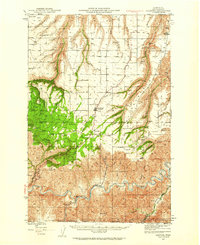
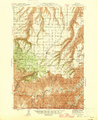
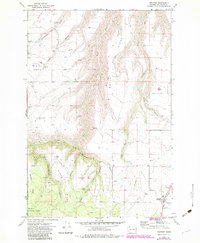
Historical Maps of Anatone Through Time
9 maps found
Featured Locations
Source Details
SourceU.S. Geological Survey
CopyrightPublic Domain