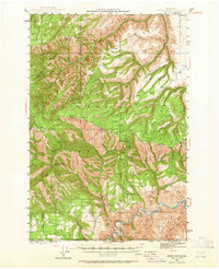
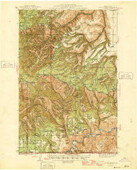
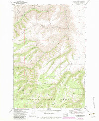
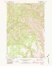
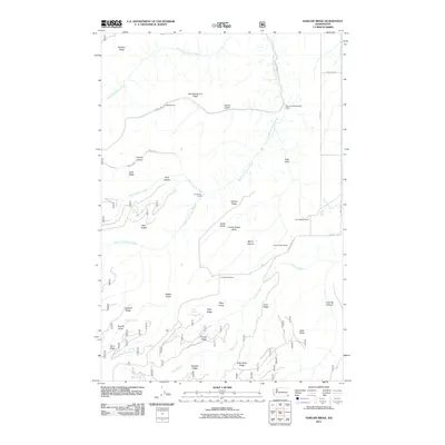
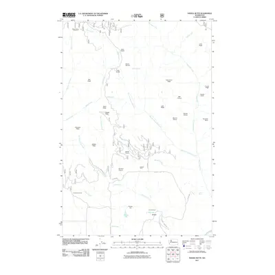
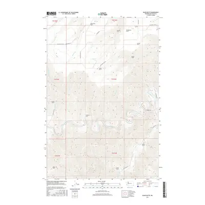
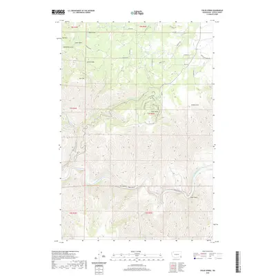
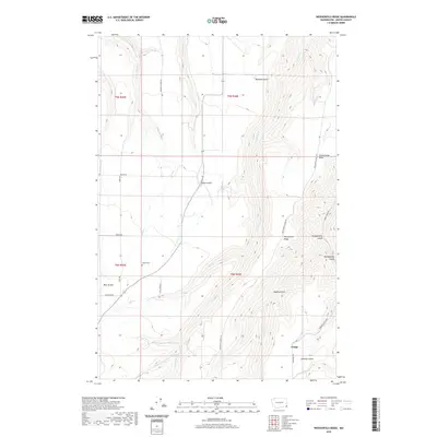
1943 Map of Saddle Butte
USGS Topo · Published 1964About this map
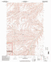
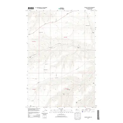
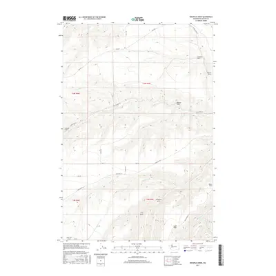
Hanson Ferry serves as a vital crossing point on the Grande Ronde River at the southern edge of this 1943 survey, marking a pocket of human activity within the extensive Umatilla National Forest. The map illustrates a landscape of high ridges and deep gulches, where isolated settlements like Cloverland and Mountain View are connected by a network of trails and primitive roads. Public infrastructure is represented by the Wenatchee Guard Sta and Saddle Spring Guard Sta, alongside local landmarks like Central Sch and Mountain View Sch.
Find a feature on this map
103 named features on this map. Tap any name to fly to it.
Don’t see what you’re looking for? This feature index may not catch every label — zoom into the map to look around manually.
Map Details
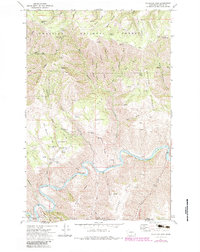
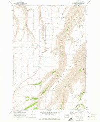
Editions of this 1943 Saddle Butte Map
This is the sole edition of this map. No revisions or reprints were ever made.
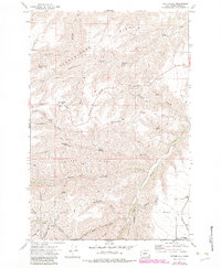
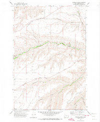
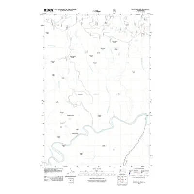
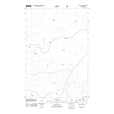
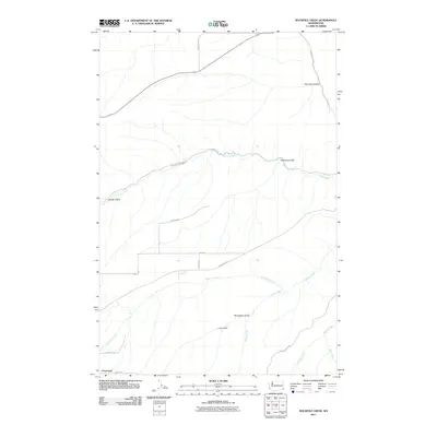
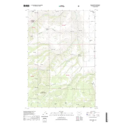
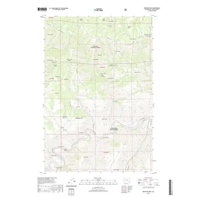
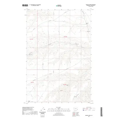
Historical Maps of Asotin County Through Time
54 maps found
1943 Saddle Butte
Asotin County, WA
1946 Saddle Butte
Asotin County, WA
1971 Black Butte
Asotin County, WA
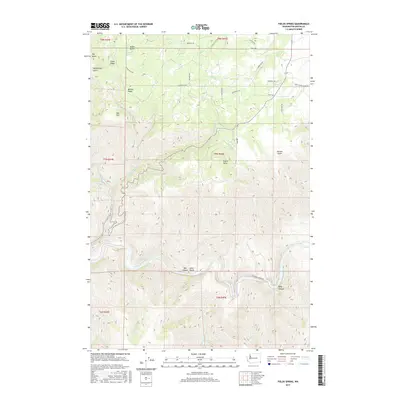
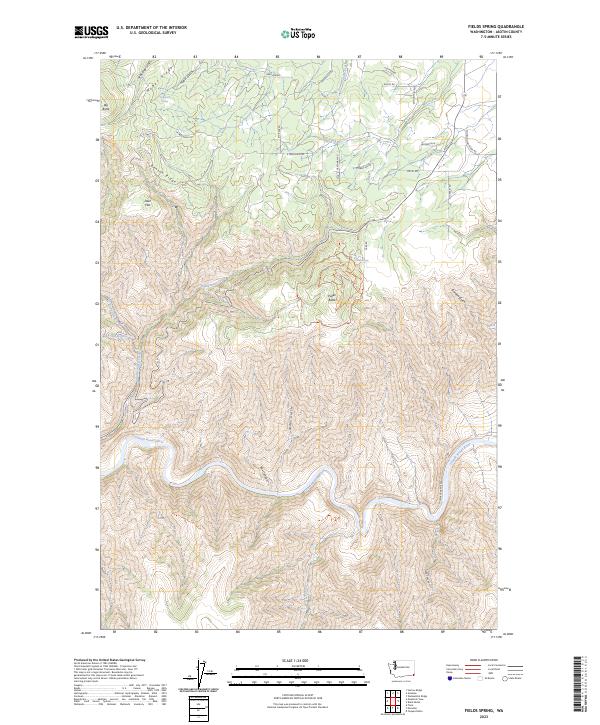
1971 Fields Spring
Asotin County, WA
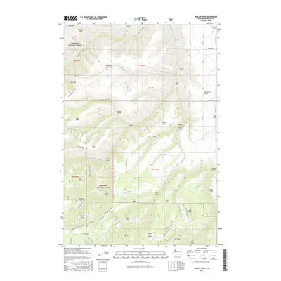
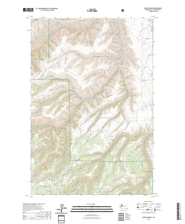
1971 Harlow Ridge
Asotin County, WA
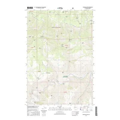
1971 Mountain View
Asotin County, WA
1971 Potter Hill
Asotin County, WA
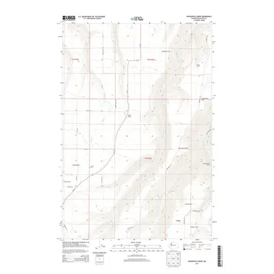
1971 Rockpile Creek
Asotin County, WA
1971 Saddle Butte
Asotin County, WA
1971 Weissenfels Ridge
Asotin County, WA
1995 Fields Spring
Asotin County, WA
1995 Mountain View
Asotin County, WA
1995 Potter Hill
Asotin County, WA
1995 Saddle Butte
Asotin County, WA
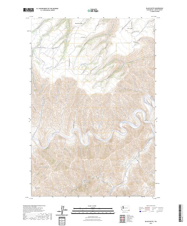
2011 Black Butte
Asotin County, WA
2011 Fields Spring
Asotin County, WA
2011 Harlow Ridge
Asotin County, WA
2011 Mountain View
Asotin County, WA
2011 Potter Hill
Asotin County, WA
2011 Rockpile Creek
Asotin County, WA
2011 Saddle Butte
Asotin County, WA
2011 Weissenfels Ridge
Asotin County, WA
2013 Fields Spring
Asotin County, WA

2013 Mountain View
Asotin County, WA
2013 Potter Hill
Asotin County, WA
2013 Rockpile Creek
Asotin County, WA

2013 Saddle Butte
Asotin County, WA
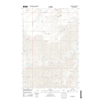
2014 Black Butte
Asotin County, WA
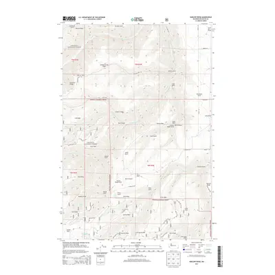
2014 Harlow Ridge
Asotin County, WA
2014 Weissenfels Ridge
Asotin County, WA
2017 Black Butte
Asotin County, WA
2017 Fields Spring
Asotin County, WA
2017 Harlow Ridge
Asotin County, WA
2017 Mountain View
Asotin County, WA

2017 Potter Hill
Asotin County, WA
2017 Rockpile Creek
Asotin County, WA
2017 Saddle Butte
Asotin County, WA
2017 Weissenfels Ridge
Asotin County, WA
2020 Black Butte
Asotin County, WA
2020 Fields Spring
Asotin County, WA
2020 Harlow Ridge
Asotin County, WA
2020 Mountain View
Asotin County, WA

2020 Potter Hill
Asotin County, WA
2020 Rockpile Creek
Asotin County, WA

2020 Saddle Butte
Asotin County, WA
2020 Weissenfels Ridge
Asotin County, WA
2023 Black Butte
Asotin County, WA
2023 Fields Spring
Asotin County, WA
2023 Harlow Ridge
Asotin County, WA
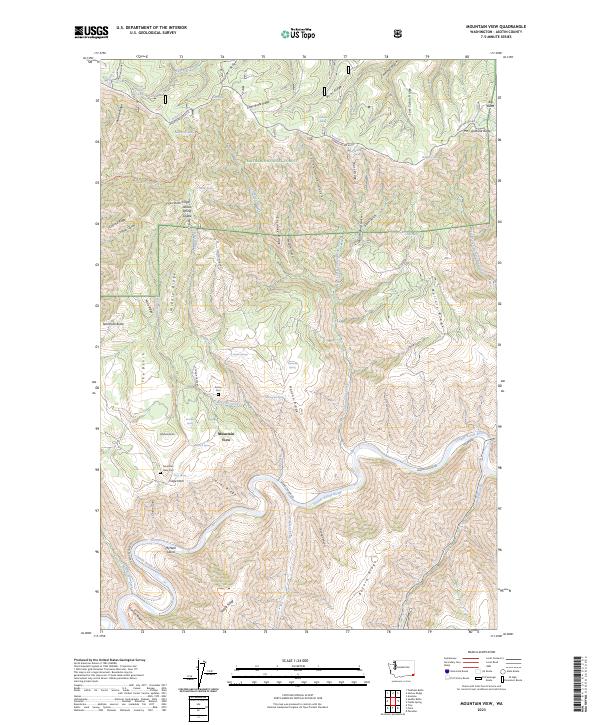
2023 Mountain View
Asotin County, WA
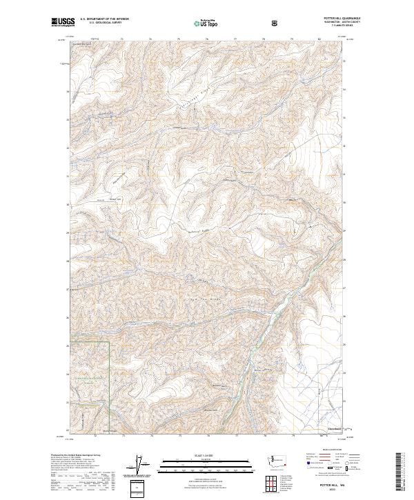
2023 Potter Hill
Asotin County, WA
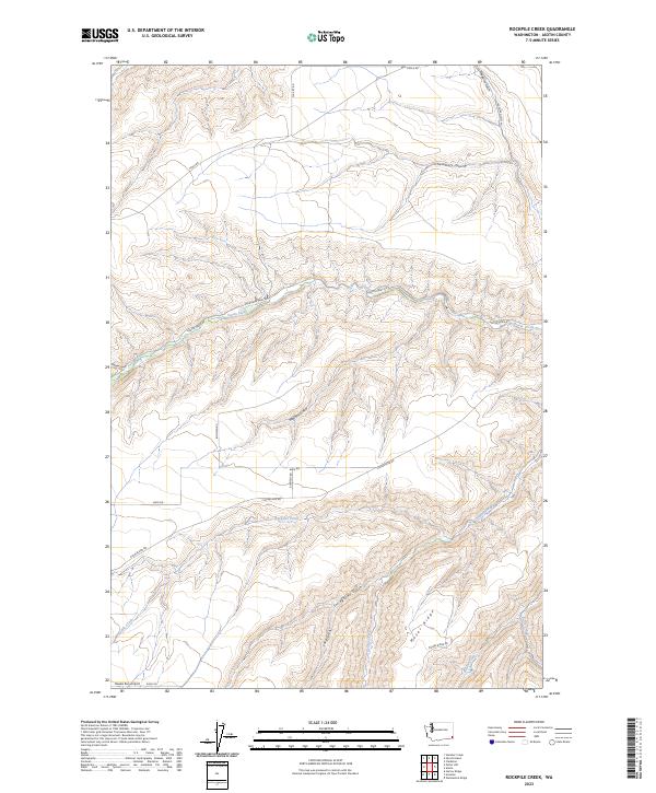
2023 Rockpile Creek
Asotin County, WA
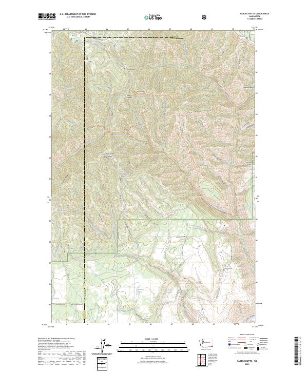
2023 Saddle Butte
Asotin County, WA
2023 Weissenfels Ridge
Asotin County, WA