1946 Map of Anatone
USGS Topo · Published 1946About this map
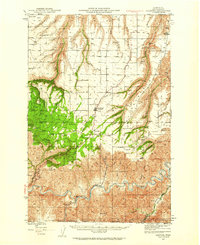
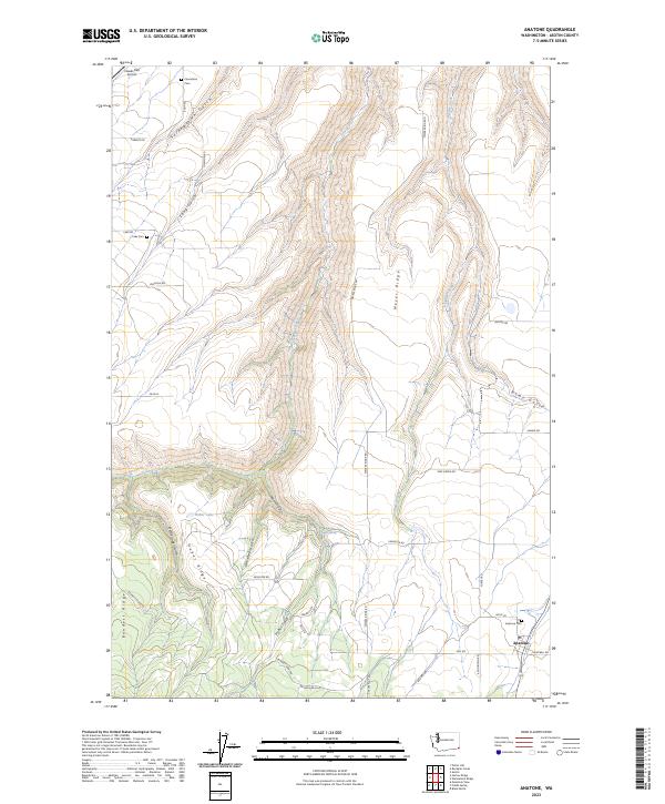
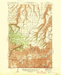
Anatone serves as the central hub of this Asotin County landscape, situated on a high plateau just north of the Washington-Oregon border. The 1940s economy of the region is etched into the terrain through a network of remote ranching outposts like Ausman Ranch and the presence of high-altitude infrastructure such as the Big Butte Lookout within the Umatilla Nat Forest. The southern portion of the map is dominated by the deep canyon of the Grande Ronde River, where it meets the winding Joseph Creek. This rugged transition from forested peaks to river basin is further defined by geologic features like Hells Finger and Puffer Butte, the latter located within the grounds of Fields Spring State Park. Traceable routes lead through several named gulches and past historical sites like Lake Sch, documenting the isolated settlement patterns of the Blue Mountains foothills during this era.
Find a feature on this map
45 named features on this map. Tap any name to fly to it.
Don’t see what you’re looking for? This feature index may not catch every label — zoom into the map to look around manually.
Map Details
Editions of this 1946 Anatone Map
This is the sole edition of this map. No revisions or reprints were ever made.
Historical Maps of Anatone Through Time
9 maps found