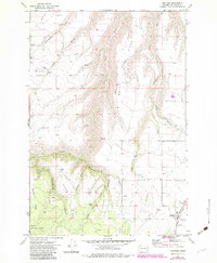
1971 Map of Anatone
USGS Topo · Published 1983About this map
Anatone serves as the focal point of this Asotin County survey, situated at the edge of a deeply dissected plateau where the agricultural uplands meet the northern reaches of the Umatilla National Forest. The landscape is defined by a dense network of drainages including Wormell Gulch, Nims Gulch, and Long Gulch, reflecting a terrain shaped by erosion and elevation. These geographic features dictate the placement of early infrastructure, such as Stringtown Road and a Jeep Trail winding through the complex topography.
Find a feature on this map
36 named features on this map. Tap any name to fly to it.
Don’t see what you’re looking for? This feature index may not catch every label — zoom into the map to look around manually.
Map Details
Editions of this 1971 Anatone Map
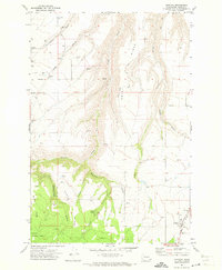
2 editions found
Other maps of this area

1943 · Peola
USGS Topo · 1:62,500

1943 · Saddle Butte
USGS Topo · 1:62,500

1944 · Anatone
USGS Topo · 1:62,500

1945 · Clarkston
USGS Topo · 1:62,500

1946 · Saddle Butte
USGS Topo · 1:62,500

1946 · Peola
USGS Topo · 1:62,500

1946 · Anatone
USGS Topo · 1:62,500

1948 · Clarkston
USGS Topo · 1:62,500

1955 · Pullman
USGS Topo · 1:250,000

1958 · Pullman
USGS Topo · 1:250,000