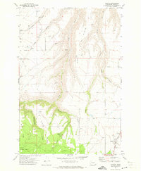
1971 Map of Anatone
USGS Topo · Published 1973About this map
Anatone serves as the focal point of this rural Asotin County landscape, situated where the high plateau meets the deep drainage systems of the Blue Mountains. The settlement pattern in the early 1970s reflects a deeply rooted agricultural and ranching history, evidenced by the scattered legacy of Stringtown and family-named landmarks like Huber Ridge and Bennett Ridge. This period of the survey shows the intersection of upland farming and the protected timberlands of the Umatilla National Forest.
Find a feature on this map
30 named features on this map. Tap any name to fly to it.
Don’t see what you’re looking for? This feature index may not catch every label — zoom into the map to look around manually.
Map Details
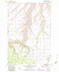
Editions of this 1971 Anatone Map
2 editions found
Other maps of this area

1943 · Peola
USGS Topo · 1:62,500

1943 · Saddle Butte
USGS Topo · 1:62,500

1944 · Anatone
USGS Topo · 1:62,500

1945 · Clarkston
USGS Topo · 1:62,500

1946 · Saddle Butte
USGS Topo · 1:62,500

1946 · Peola
USGS Topo · 1:62,500

1946 · Anatone
USGS Topo · 1:62,500

1948 · Clarkston
USGS Topo · 1:62,500

1955 · Pullman
USGS Topo · 1:250,000

1958 · Pullman
USGS Topo · 1:250,000