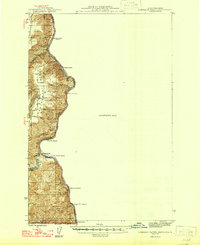
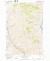
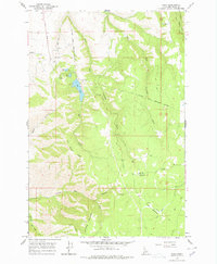
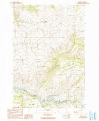
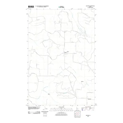
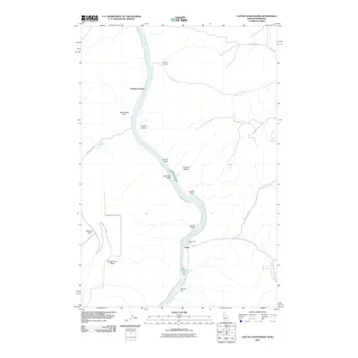
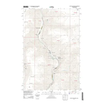
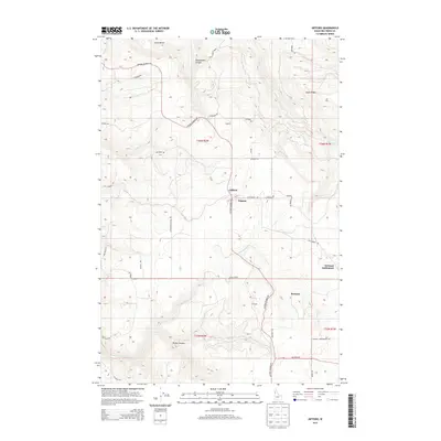
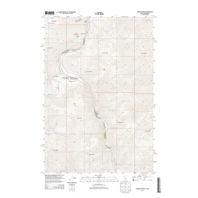
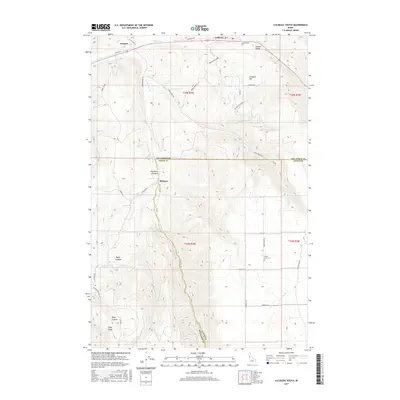
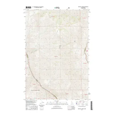
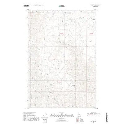
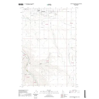
1946 Map of Limekiln Rapids
USGS Topo · Published 1946About this map
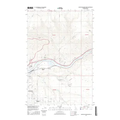
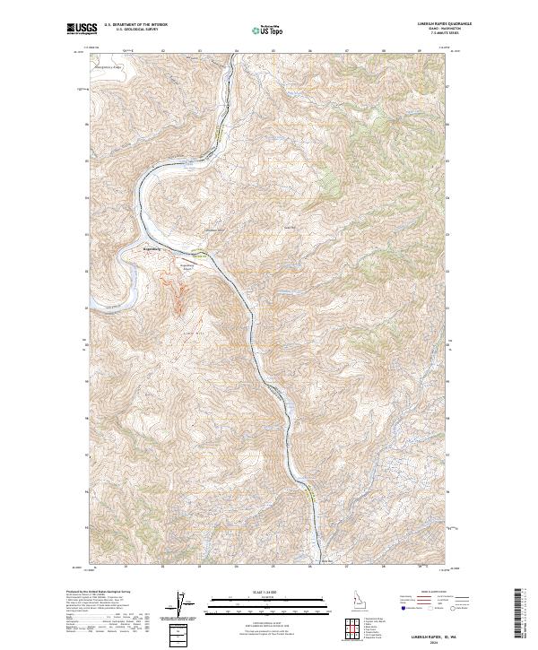
Rogersburg sits at the vital confluence of the Grande Ronde River and the Snake River, serving as a focal point in this 1944 mapping of the Washington, Oregon, and Idaho borderlands. The landscape is defined by the steep, narrow corridor of the Snake River canyon, where significant whitewater features like Limekiln Rapids, Buffalo Rapids, and Wild Goose Rapids dictated the movement of goods and people. The map reveals a transition in river activity, noting the site of the Captain John Ferry and several locations already marked as abandoned by the mid-1940s, including Brahams Landing and Couse Creek Gulch. Above the river, the high terrain of Weissenfels Ridge and Montgomery Ridge towers over the water, separated by deep drainages like Montgomery Gulch and Fisher Gulch.
Find a feature on this map
24 named features on this map. Tap any name to fly to it.
Don’t see what you’re looking for? This feature index may not catch every label — zoom into the map to look around manually.
Map Details
Editions of this 1946 Limekiln Rapids Map
This is the sole edition of this map. No revisions or reprints were ever made.
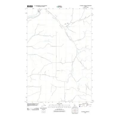
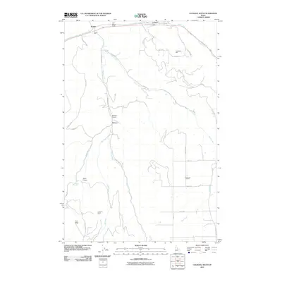
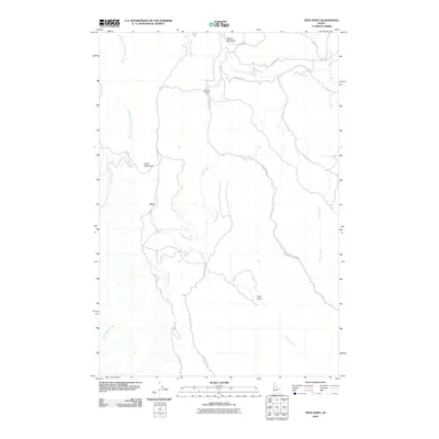
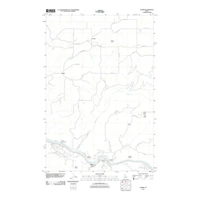
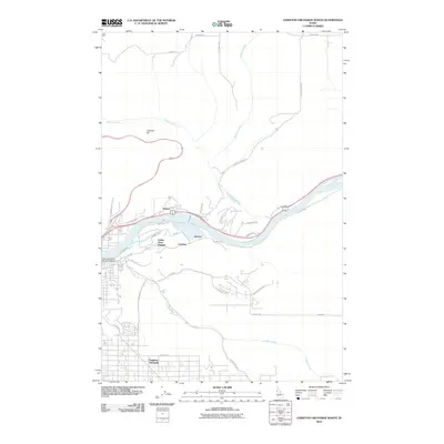
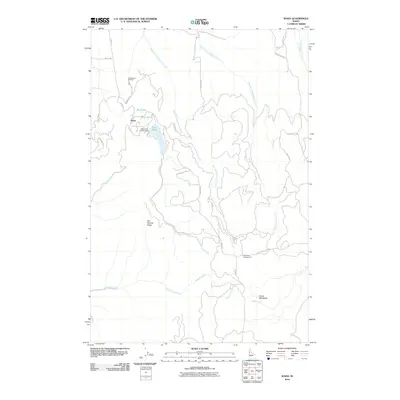
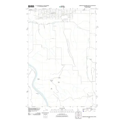
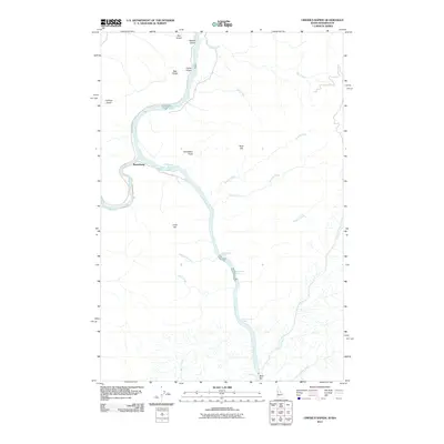
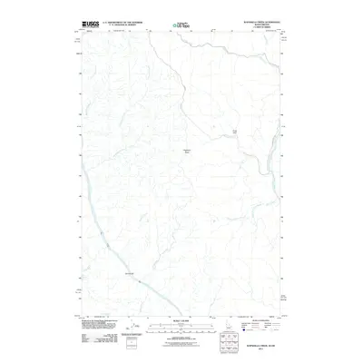
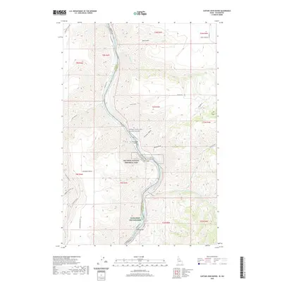
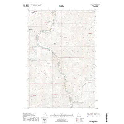
Historical Maps of Grahams Landing Through Time
69 maps found
1946 Limekiln Rapids
Nez Perce County, ID

1958 Lewiston Orchards
Nez Perce County, ID
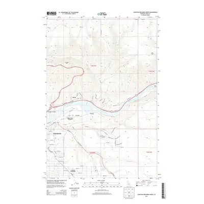
1958 Lewiston Orchards North
Nez Perce County, ID
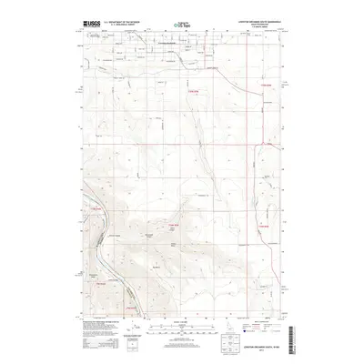
1958 Lewiston Orchards South
Nez Perce County, ID
1963 Cactus Mtn
Nez Perce County, ID
1963 Wapshilla Creek
Nez Perce County, ID
1968 Captain John Rapids
Nez Perce County, ID
1968 Frye Point
Nez Perce County, ID
1968 Limekiln Rapids
Nez Perce County, ID
1968 Waha
Nez Perce County, ID
1984 Culdesac North
Nez Perce County, ID
1984 Gifford
Nez Perce County, ID
1985 Culdesac South
Nez Perce County, ID
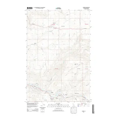
1990 Lenore
Nez Perce County, ID
2010 Culdesac North
Nez Perce County, ID
2010 Culdesac South
Nez Perce County, ID
2010 Frye Point
Nez Perce County, ID
2010 Gifford
Nez Perce County, ID
2010 Lenore
Nez Perce County, ID
2010 Lewiston Orchards North
Nez Perce County, ID
2010 Waha
Nez Perce County, ID
2011 Captain John Rapids
Nez Perce County, ID
2011 Lewiston Orchards South
Nez Perce County, ID
2011 Limekiln Rapids
Nez Perce County, ID
2011 Wapshilla Creek
Nez Perce County, ID
2013 Captain John Rapids
Nez Perce County, ID
2013 Culdesac North
Nez Perce County, ID
2013 Culdesac South
Nez Perce County, ID
2013 Frye Point
Nez Perce County, ID
2013 Gifford
Nez Perce County, ID
2013 Lenore
Nez Perce County, ID
2013 Lewiston Orchards North
Nez Perce County, ID
2013 Lewiston Orchards South
Nez Perce County, ID
2013 Limekiln Rapids
Nez Perce County, ID

2013 Waha
Nez Perce County, ID
2013 Wapshilla Creek
Nez Perce County, ID
2017 Captain John Rapids
Nez Perce County, ID
2017 Culdesac North
Nez Perce County, ID
2017 Culdesac South
Nez Perce County, ID
2017 Frye Point
Nez Perce County, ID
2017 Gifford
Nez Perce County, ID
2017 Lenore
Nez Perce County, ID
2017 Lewiston Orchards North
Nez Perce County, ID
2017 Lewiston Orchards South
Nez Perce County, ID
2017 Limekiln Rapids
Nez Perce County, ID
2017 Waha
Nez Perce County, ID
2017 Wapshilla Creek
Nez Perce County, ID
2020 Captain John Rapids
Nez Perce County, ID
2020 Culdesac North
Nez Perce County, ID
2020 Culdesac South
Nez Perce County, ID
2020 Frye Point
Nez Perce County, ID
2020 Gifford
Nez Perce County, ID
2020 Lenore
Nez Perce County, ID
2020 Lewiston Orchards North
Nez Perce County, ID
2020 Lewiston Orchards South
Nez Perce County, ID
2020 Limekiln Rapids
Nez Perce County, ID
2020 Waha
Nez Perce County, ID
2020 Wapshilla Creek
Nez Perce County, ID
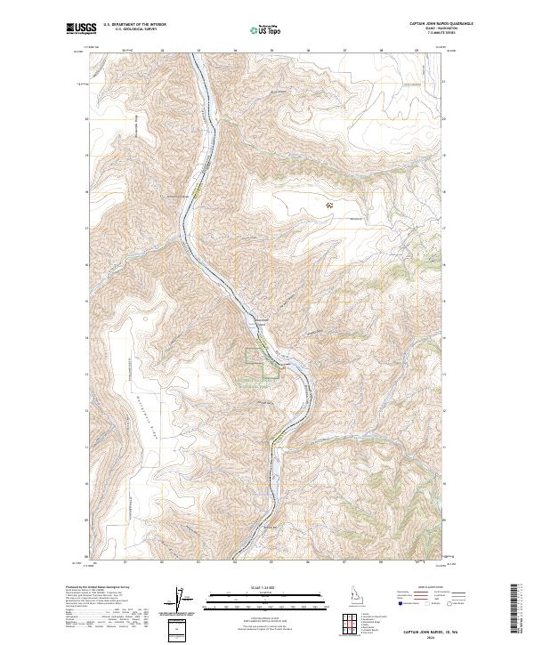
2024 Captain John Rapids
Nez Perce County, ID
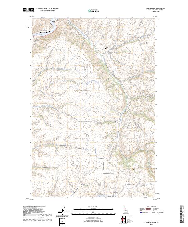
2024 Culdesac North
Nez Perce County, ID
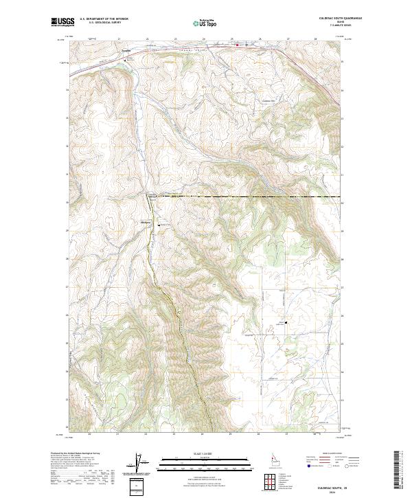
2024 Culdesac South
Nez Perce County, ID
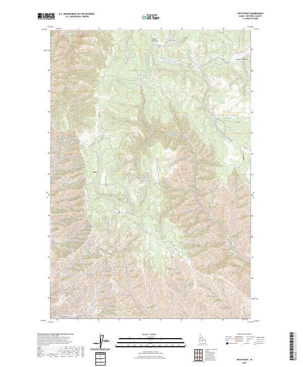
2024 Frye Point
Nez Perce County, ID
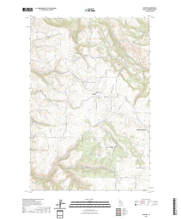
2024 Gifford
Nez Perce County, ID
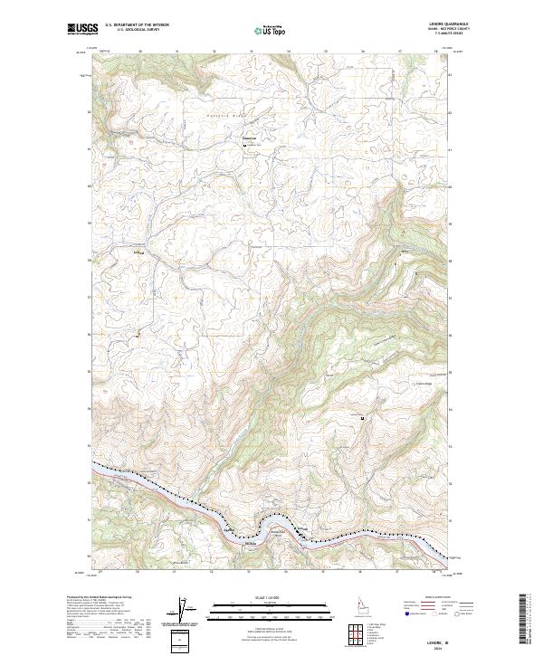
2024 Lenore
Nez Perce County, ID
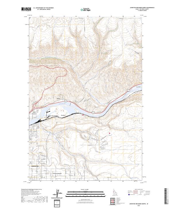
2024 Lewiston Orchards North
Nez Perce County, ID
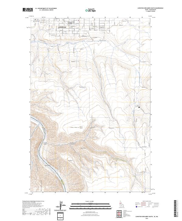
2024 Lewiston Orchards South
Nez Perce County, ID
2024 Limekiln Rapids
Nez Perce County, ID
2024 Waha
Nez Perce County, ID
2024 Wapshilla Creek
Nez Perce County, ID