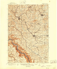
1910 Map of Pullman
USGS Topo · Published 1947About this map
Colfax and Pullman serve as the primary hubs in this agricultural and academic landscape surveyed during the first years of the twentieth century. The map illustrates the burgeoning Palouse region as a critical grain-producing area, defined by the winding South Fork Palouse River and a dense network of competing rail lines including the Northern Pacific RR and the Oregon Railroad & Navigation Co. Educational foundations are firmly established, with the State College of Washington in Pullman and the University of Idaho across the state line in Moscow. To the south, the deep gorge of the Snake River cuts a dramatic boundary, where river landings like Almota and Wawawai Canyon provided essential shipping points. The surrounding hills are dotted with small settlements like Elberton, Guy Albion P.O., and Palouse, showing the early distribution of rural communities before modern consolidation.
Find a feature on this map
75 named features on this map. Tap any name to fly to it.
Don’t see what you’re looking for? This feature index may not catch every label — zoom into the map to look around manually.
Map Details
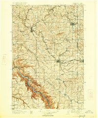
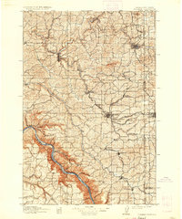
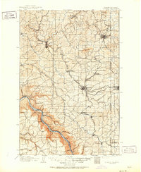
Editions of this 1910 Pullman Map
5 editions found
Other maps of this area

1903 · Oakesdale
USGS Topo · 1:125,000

1905 · Oakesdale
USGS Topo · 1:125,000

1910 · Pullman
USGS Topo · 1:125,000

1937 · Pomeroy
USGS Topo · 1:96,000

1942 · Pomeroy
USGS Topo · 1:125,000

1943 · Peola
USGS Topo · 1:62,500

1945 · Clarkston
USGS Topo · 1:62,500

1946 · Peola
USGS Topo · 1:62,500

1948 · Clarkston
USGS Topo · 1:62,500

1950 · Penawawa
USGS Topo · 1:62,500