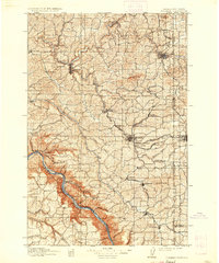
1910 Map of Pullman
USGS Topo · Published 1936About this map
The State College of Washington and the University of Idaho anchor this early 20th-century landscape, illustrating the regional importance of these land-grant institutions along the border. The intricate topography of the Palouse is defined by deep basalt canyons and rolling hills, where the Snake River carves a dramatic southern boundary marked by river bars like Bishop Bar and Kelly Bar. The rail network is remarkably dense for the era, with the Northern Pacific RR and the Oregon Railroad and Navigation Company connecting agricultural hubs such as Colfax and Palouse. Smaller settlements and mail stops, including Guy Albion P.O. and Ratsmiller, populate the draws and flats, while prominent landmarks like Kamiak Mtn and Bald Butte serve as geographic sentinels across the wheat-growing country.
Find a feature on this map
84 named features on this map. Tap any name to fly to it.
Don’t see what you’re looking for? This feature index may not catch every label — zoom into the map to look around manually.
Map Details
Editions of this 1910 Pullman Map
5 editions found
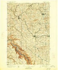
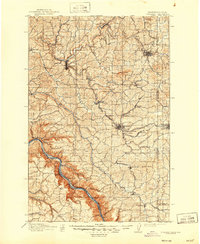
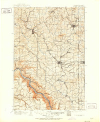
Other maps of this area

1903 · Oakesdale
USGS Topo · 1:125,000

1905 · Oakesdale
USGS Topo · 1:125,000

1910 · Pullman
USGS Topo · 1:125,000

1937 · Pomeroy
USGS Topo · 1:96,000

1942 · Pomeroy
USGS Topo · 1:125,000

1943 · Peola
USGS Topo · 1:62,500

1945 · Clarkston
USGS Topo · 1:62,500

1946 · Peola
USGS Topo · 1:62,500

1948 · Clarkston
USGS Topo · 1:62,500

1950 · Penawawa
USGS Topo · 1:62,500