Old Maps of Colfax, Washington
Explore 28 old maps of Colfax, spanning from 1910 to today. These high-resolution historic maps reveal how streets, neighborhoods, landmarks, and natural features evolved over time — perfect for genealogy, metal detecting, research, and local history exploration.
What you can do with these maps:
- See how Colfax changed over time: Compare historical maps to modern-day views to trace roads, homesites, rail lines & more.
- View detailed metadata: Each map includes creators, publishers, year, scale, and archive source.
- Overlay maps with satellite & LiDAR: Visualize the past alongside modern tools to explore terrain & human change.
- Trusted historical sources: Maps sourced from the USGS, Library of Congress, and other archives.
- Access maps your way: View online, download high-res files, or order prints for personal or research use.
Start exploring old maps of Colfax to uncover forgotten places, hidden landmarks, and the deep history beneath your feet.
Colfax, WA maps
(28)- 1910 Map of Pullman
 1910 Pullman1910 Print · USGSThe Palouse hills and Snake River breaks are shown here in the early twentieth century, during a period of rapid railway expansion and academic growth. Genealogists and historians can trace the early layouts of Pullman and Colfax, as well as rural post offices like Guy Albion PO and the campus of the State College of Washington.5 unique versions available
 - 1955 Map of Pullman, 1963 Print
 1955 Pullman1963 Print · USGSThe Palouse and Clearwater regions are captured here in the mid-1950s, showing the height of the rail-and-river economy. Genealogists and historians can trace rail lines like the Camas Prairie RR, find local landmarks like Whitman County Memorial Cem, and locate early academic centers at Washington State University and the University of Idaho.3 unique versions available
 - 1958 Map of Pullman
 1958 Pullman1958 Print · USGSThe Palouse and Clearwater regions are captured here in the late fifties, showing the vital river-and-rail connection between eastern Washington and northern Idaho. Local historians can trace the paths of the Camas Prairie RR and Union Pacific RR as they serve towns like Colfax, Kamiah, and Nezperce.2 unique versions available
 - 1964 Map of Diamond, 1965 Print
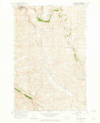
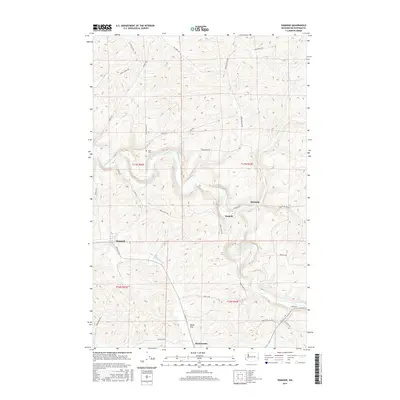
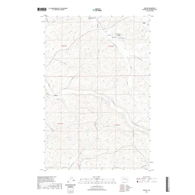
 1964 Diamond1965 Print · USGSWhitman County agriculture and transportation meet in the mid-1960s as two major rail lines traverse the winding Palouse coulees. Researchers can trace the routes of the Union Pacific and Great Northern through Diamond, Harpole, and Manning.
 - 1964 Map of Colfax North, 1965 Print
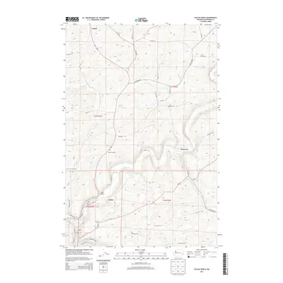
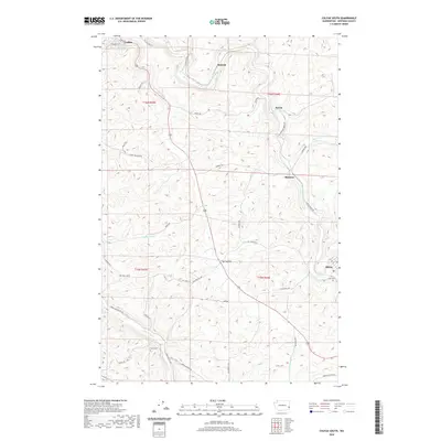
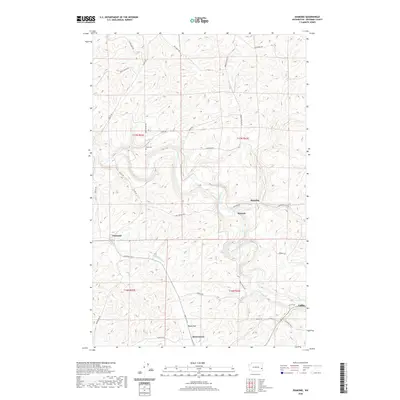
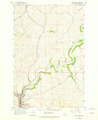 1964 Colfax North1965 Print · USGSWhitman County at the height of the mid-century rail era reveals a landscape defined by the winding Palouse River. Genealogists and researchers can trace the tracks of the Great Northern and locate sites like Colfax Cem and the Grange Hall 2443.
 - 1964 Map of Wilcox, 1965 Print
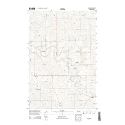
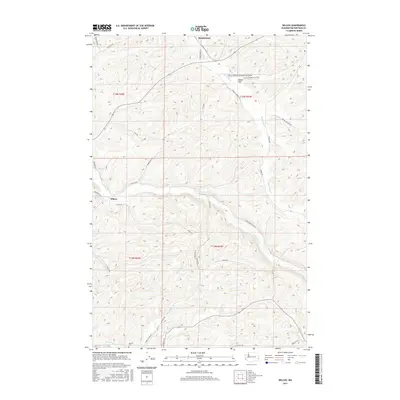
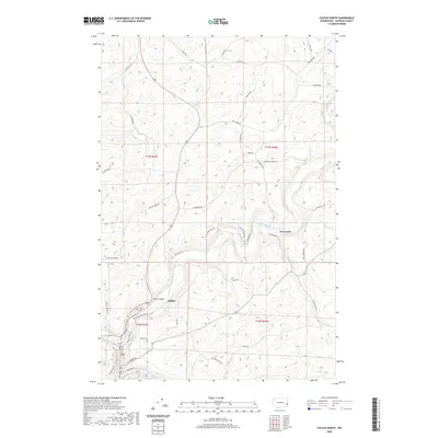
 1964 Wilcox1965 Print · USGSWhitman County's agricultural heartland is captured here in the mid-1960s, showing the intersection of rail lines and creek-side settlements. Genealogists and local historians can trace specific landmarks like the Onecho Cem, the community of Wilcox, and the Palouse Empire Fairgrounds.2 unique versions available
 - 1964 Map of Colfax South, 1965 Print
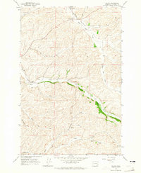
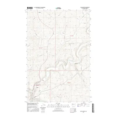
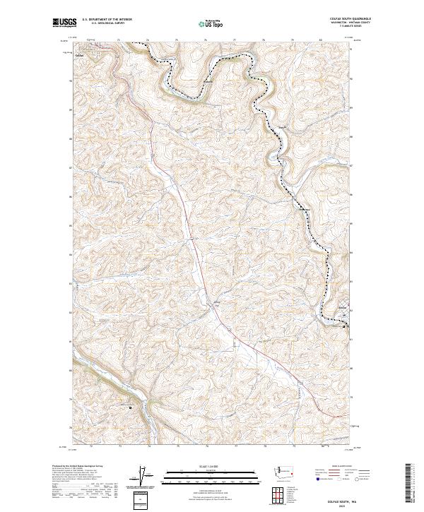
 1964 Colfax South1965 Print · USGSWhitman County agriculture and rail transit are captured here in the mid-1960s as the Union Pacific corridor winds through the Palouse. Researchers can trace family roots at Guy Cem or locate old community hubs like Parvin, Shawnee, and the Grange Hall.
 - 1982 Map of Pullman
 1982 Pullman1982 Print · USGSThe Palouse region and Snake River valley are shown in the early eighties as the river navigation system matured. Trace the rail lines of the Union Pacific, locate rural centers like Johnson and Colton, and see the impact of the Lower Granite Dam.
 - 2011 Map of Diamond, 2011 Print
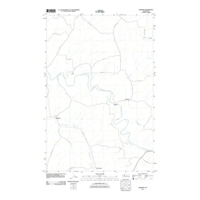 2011 Diamond2011 Print · USGSCovers Colfax, including Manning, Diamond, and other nearby areas
 - 2011 Map of Colfax South, 2011 Print
 2011 Colfax South2011 Print · USGSCovers Colfax, including Albion, Risbeck, and other nearby areas
 - 2011 Map of Colfax North, 2011 Print
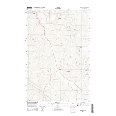
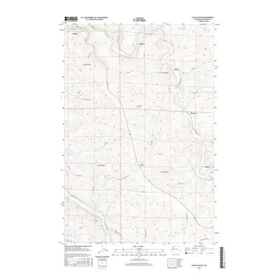
 2011 Colfax North2011 Print · USGSCovers Colfax, including Glenwood, Whitman County, and other nearby areas
 - 2011 Map of Wilcox, 2011 Print
 2011 Wilcox2011 Print · USGSCovers Colfax, including Wilcox, Whitman County, and other nearby areas
 - 2013 Map of Wilcox, 2013 Print
 2013 Wilcox2013 Print · USGSCovers Colfax, including Wilcox, Whitman County, and other nearby areas
 - 2013 Map of Colfax North, 2013 Print
 2013 Colfax North2013 Print · USGSCovers Colfax, including Glenwood, Whitman County, and other nearby areas
 - 2013 Map of Diamond, 2013 Print
 2013 Diamond2013 Print · USGSCovers Colfax, including Manning, Diamond, and other nearby areas
 - 2013 Map of Colfax South, 2013 Print
 2013 Colfax South2013 Print · USGSCovers Colfax, including Albion, Risbeck, and other nearby areas
 - 2017 Map of Colfax South, 2017 Print
 2017 Colfax South2017 Print · USGSCovers Colfax, including Albion, Risbeck, and other nearby areas
 - 2017 Map of Colfax North, 2017 Print
 2017 Colfax North2017 Print · USGSCovers Colfax, including Glenwood, Whitman County, and other nearby areas
 - 2017 Map of Diamond, 2017 Print
 2017 Diamond2017 Print · USGSCovers Colfax, including Manning, Diamond, and other nearby areas
 - 2017 Map of Wilcox, 2017 Print
 2017 Wilcox2017 Print · USGSCovers Colfax, including Wilcox, Whitman County, and other nearby areas
 - 2020 Map of Colfax South, 2020 Print
 2020 Colfax South2020 Print · USGSCovers Colfax, including Albion, Risbeck, and other nearby areas
 - 2020 Map of Colfax North, 2020 Print
 2020 Colfax North2020 Print · USGSCovers Colfax, including Glenwood, Whitman County, and other nearby areas
 - 2020 Map of Wilcox, 2020 Print
 2020 Wilcox2020 Print · USGSCovers Colfax, including Wilcox, Whitman County, and other nearby areas
 - 2020 Map of Diamond, 2020 Print
 2020 Diamond2020 Print · USGSCovers Colfax, including Manning, Diamond, and other nearby areas
 - 2023 Map of Colfax South, 2023 Print
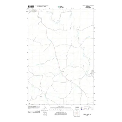
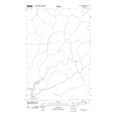
 2023 Colfax South2023 Print · USGSWhitman County's rolling Palouse hills are captured here in the early twenty-first century, showing the enduring agricultural settlements and river valleys. Researchers can locate family landmarks like Saint Home Cem or trace the rural routes connecting Spring Flat, Parvin, and Shawnee.
Showing maps 1-25 of 28
Top cities near Colfax
Frequently asked questions
- What are the different types of historical maps available for Colfax?
- What is the oldest map of Colfax?
- Where can I purchase historical maps of Colfax for my home or office?
- Where can I download high-res historical maps of Colfax?
- Are there historical topographic maps available for Colfax?
- Is there historical aerial imagery available for Colfax?
- Where are historical maps of Colfax sourced from?