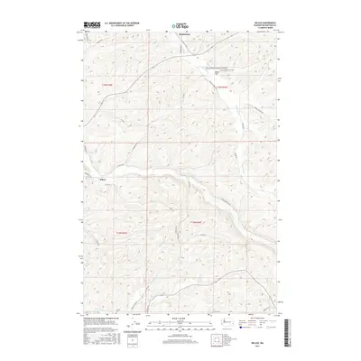
2017 Map of Wilcox
USGS Topo · Published 2017About this map
Wilcox and Mockonema sit within the drainage basins of the Palouse region, where numerous seasonal and perennial creeks carve through the agricultural landscape. The map centers on the winding course of Union Flat Cr and Rebel Flat Cr, which define the local topography alongside Alkali Flat Cr and Penawawa Cr. The presence of Onecho Cem in the southern portion of the quadrangle provides a specific point of interest for genealogists tracing families in this part of Whitman County.
Find a feature on this map
36 named features on this map. Tap any name to fly to it.
Don’t see what you’re looking for? This feature index may not catch every label — zoom into the map to look around manually.
Map Details
Editions of this 2017 Wilcox Map
This is the sole edition of this map. No revisions or reprints were ever made.
Other maps of this area

1910 · Pullman
USGS Topo · 1:125,000

1950 · Penawawa
USGS Topo · 1:62,500

1950 · Endicott
USGS Topo · 1:62,500

1955 · Pullman
USGS Topo · 1:250,000

1958 · Pullman
USGS Topo · 1:250,000

1964 · Diamond
USGS Topo · 1:24,000

1964 · Colfax North
USGS Topo · 1:24,000

1964 · Wilcox
USGS Topo · 1:24,000

1964 · Colfax South
USGS Topo · 1:24,000

1964 · Ewartsville
USGS Topo · 1:24,000