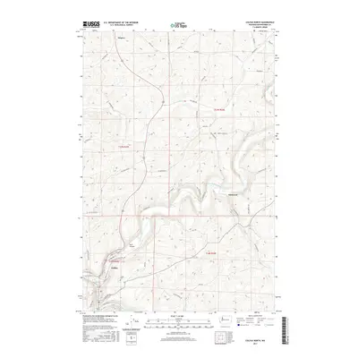
2017 Map of Colfax North
USGS Topo · Published 2017About this map
Colfax serves as the focal point for this section of Whitman County, where the Palouse River and the S Fork Palouse River converge in a landscape defined by dramatic coulees and high plateaus. The northern portion of the city is detailed down to residential streets like N Oak St and N Riverside Ln, with the Colfax Cem positioned on the western hills overlooking the valley floor. To the north, the small community of Steptoe anchors a vast agricultural network of rural roads such as Blackwell Rd and Hume Rd. The map illustrates the region's complex drainage system, including the winding course of Dry Cr and the topographical prominence of Buck Canyon. This 2017 survey reflects the modern configuration of the Palouse, documenting the enduring balance between these historic river-bottom settlements and the expansive wheat-growing uplands that surround them.
Find a feature on this map
54 named features on this map. Tap any name to fly to it.
Don’t see what you’re looking for? This feature index may not catch every label — zoom into the map to look around manually.
Map Details
Editions of this 2017 Colfax North Map
This is the sole edition of this map. No revisions or reprints were ever made.
Other maps of this area

1903 · Oakesdale
USGS Topo · 1:125,000

1905 · Oakesdale
USGS Topo · 1:125,000

1910 · Pullman
USGS Topo · 1:125,000

1955 · Pullman
USGS Topo · 1:250,000

1955 · Spokane
USGS Topo · 1:250,000

1958 · Spokane
USGS Topo · 1:250,000

1958 · Pullman
USGS Topo · 1:250,000

1964 · Diamond
USGS Topo · 1:24,000

1964 · Elberton
USGS Topo · 1:24,000

1964 · Colfax North
USGS Topo · 1:24,000