
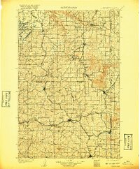
1905 Map of Oakesdale
USGS Topo · Published 1905About this map
The wheat-growing Palouse country of eastern Washington is documented here during a period of intense rail development and agricultural expansion. Oakesdale sits at the center of a complex transportation network where the Northern Pacific RR and the Oregon Railroad and Navigation Company converge, facilitating the movement of grain from the surrounding buttes and valleys. The landscape is defined by its distinctive geological formations, most notably the prominent Steptoe Butte and Tekoa Mountain, which stand above the undulating hills.
Find a feature on this map
55 named features on this map. Tap any name to fly to it.
Don’t see what you’re looking for? This feature index may not catch every label — zoom into the map to look around manually.
Map Details
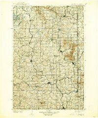
Editions of this 1905 Oakesdale Map
3 editions found
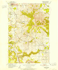
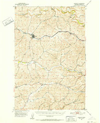
Other maps of this area

1901 · Spokane
USGS Topo · 1:125,000

1903 · Oakesdale
USGS Topo · 1:125,000

1903 · Rathdrum
USGS Topo · 1:125,000

1910 · Pullman
USGS Topo · 1:125,000

1943 · Medical Lake
USGS Topo · 1:62,500

1949 · Greenacres
USGS Topo · 1:62,500
1950 · Spokane SE
USGS Topo · 1:24,000
1950 · Endicott
USGS Topo · 1:62,500

1950 · Spokane SW
USGS Topo · 1:24,000

1950 · Spokane
USGS Topo · 1:62,500