Old Maps of Pullman, Washington
Explore 30 old maps of Pullman, spanning from 1910 to today. These high-resolution historic maps reveal how streets, neighborhoods, landmarks, and natural features evolved over time — perfect for genealogy, metal detecting, research, and local history exploration.
What you can do with these maps:
- See how Pullman changed over time: Compare historical maps to modern-day views to trace roads, homesites, rail lines & more.
- View detailed metadata: Each map includes creators, publishers, year, scale, and archive source.
- Overlay maps with satellite & LiDAR: Visualize the past alongside modern tools to explore terrain & human change.
- Trusted historical sources: Maps sourced from the USGS, Library of Congress, and other archives.
- Access maps your way: View online, download high-res files, or order prints for personal or research use.
Start exploring old maps of Pullman to uncover forgotten places, hidden landmarks, and the deep history beneath your feet.
Pullman, WA maps
(30)- 1910 Map of Pullman
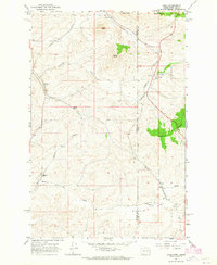
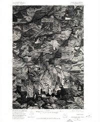
 1910 Pullman1910 Print · USGSThe Palouse hills and Snake River breaks are shown here in the early twentieth century, during a period of rapid railway expansion and academic growth. Genealogists and historians can trace the early layouts of Pullman and Colfax, as well as rural post offices like Guy Albion PO and the campus of the State College of Washington.5 unique versions available
 - 1955 Map of Pullman, 1963 Print
 1955 Pullman1963 Print · USGSThe Palouse and Clearwater regions are captured here in the mid-1950s, showing the height of the rail-and-river economy. Genealogists and historians can trace rail lines like the Camas Prairie RR, find local landmarks like Whitman County Memorial Cem, and locate early academic centers at Washington State University and the University of Idaho.3 unique versions available
 - 1958 Map of Pullman
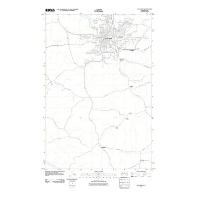
 1958 Pullman1958 Print · USGSThe Palouse and Clearwater regions are captured here in the late fifties, showing the vital river-and-rail connection between eastern Washington and northern Idaho. Local historians can trace the paths of the Camas Prairie RR and Union Pacific RR as they serve towns like Colfax, Kamiah, and Nezperce.2 unique versions available
 - 1964 Map of Viola, 1965 Print
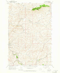
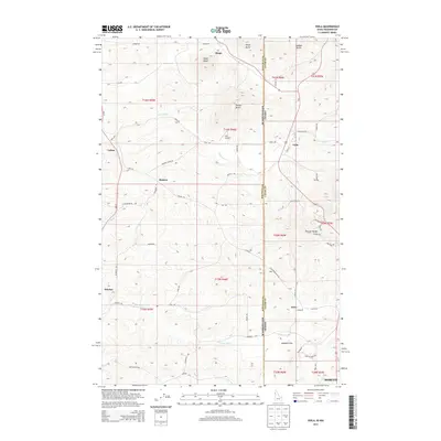
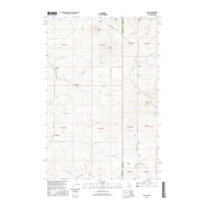
 1964 Viola1965 Print · USGSThe Palouse hills along the Washington and Idaho border come alive in the mid-1960s, showing a landscape defined by timbered buttes and vital rail lines. Genealogists and rail historians can trace the paths of the Northern Pacific through rural stops like Fallon, Viola, and Whelan.2 unique versions available
 - 1964 Map of Moscow West, 1965 Print
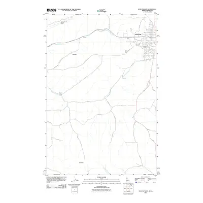
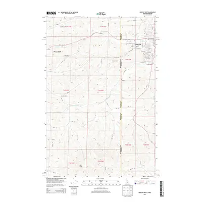
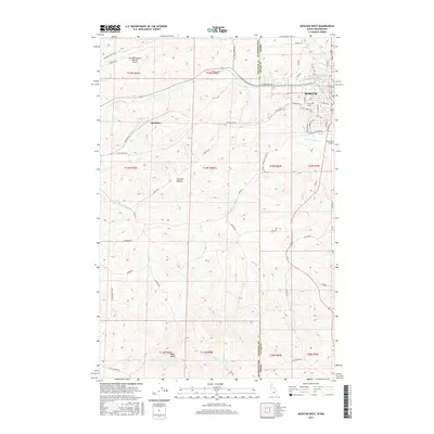
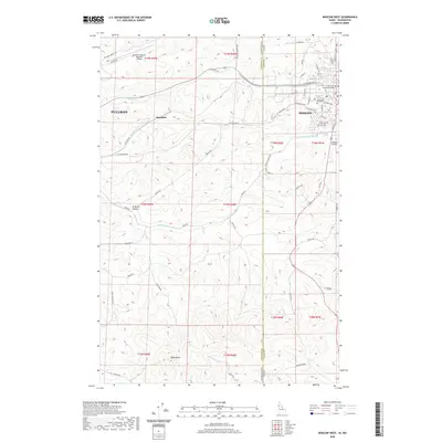
 1964 Moscow West1965 Print · USGSThe Idaho-Washington border comes alive in the mid-1960s, centered on the university town of Moscow and its rail connections. Researchers can trace the junction of the Union Pacific and Great Northern railroads or locate the University of Idaho campus and the old Drive-in Theater.3 unique versions available
 - 1964 Map of Albion, 1965 Print
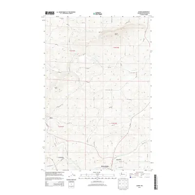
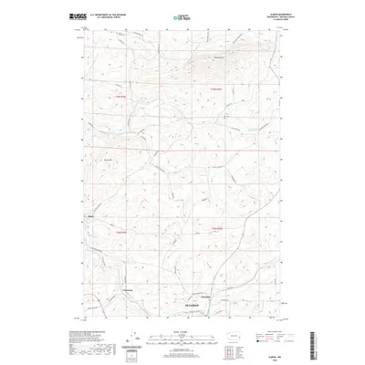
 1964 Albion1965 Print · USGSWhitman County agriculture and transportation are captured here in the mid-1960s, showing the vital rail-and-river network of the Palouse. Genealogists can locate family landmarks like Mt Olivet Cem, the local Grange Hall, and the small siding at Kitzmiller.
 - 1964 Map of Pullman, 1965 Print
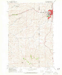
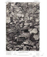
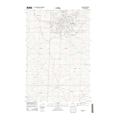
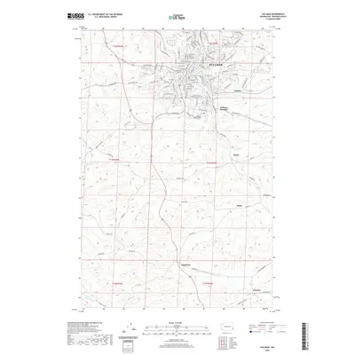
 1964 Pullman1965 Print · USGSPullman and the surrounding Palouse hills are captured here in the mid-sixties, a period of significant academic and agricultural activity. Researchers can trace the rail lines of the Union Pacific through small sidings and settlements like Staley, Busby, and Chambers.3 unique versions available
 - 1975 Map of Moscow West, 1976 Print
 1975 Moscow West1976 Print · USGSThe eastern edge of the Idaho border near Moscow is captured in the mid-seventies, showing the intersection of urban growth and Palouse wheat fields. Researchers can trace the layout of Moscow and the Pullman-Moscow Regional Airport amidst the winding course of Paradise Creek.2 unique versions available
 - 1975 Map of Pullman, 1977 Print
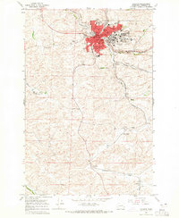
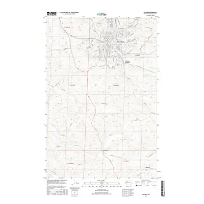
 1975 Pullman1977 Print · USGSThe Palouse hills of Whitman County appear in striking aerial detail during the mid-seventies. Researchers can trace the development of Pullman or locate rural landmarks near Staley and Johnson along the South Fork Palouse River.
 - 1982 Map of Pullman
 1982 Pullman1982 Print · USGSThe Palouse region and Snake River valley are shown in the early eighties as the river navigation system matured. Trace the rail lines of the Union Pacific, locate rural centers like Johnson and Colton, and see the impact of the Lower Granite Dam.
 - 2011 Map of Viola, 2011 Print
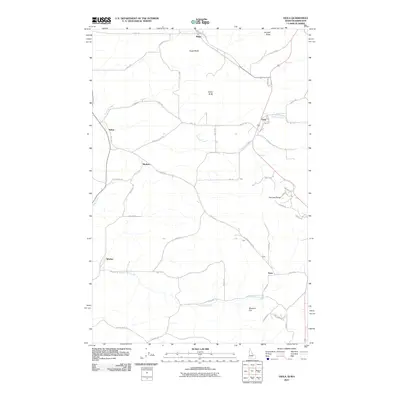 2011 Viola2011 Print · USGSCovers Pullman, including Moscow, Fallon, and other nearby areas
 - 2011 Map of Albion, 2011 Print
 2011 Albion2011 Print · USGSCovers Pullman, including Albion, Kitzmiller, and other nearby areas
 - 2011 Map of Moscow West, 2011 Print
 2011 Moscow West2011 Print · USGSCovers Pullman, including Moscow, Sunshine, and other nearby areas
 - 2011 Map of Pullman, 2011 Print
 2011 Pullman2011 Print · USGSCovers Pullman, including Busby, Johnson, and other nearby areas
 - 2013 Map of Moscow West, 2013 Print
 2013 Moscow West2013 Print · USGSCovers Pullman, including Moscow, Sunshine, and other nearby areas
 - 2013 Map of Viola, 2013 Print
 2013 Viola2013 Print · USGSCovers Pullman, including Moscow, Fallon, and other nearby areas
 - 2013 Map of Pullman, 2013 Print
 2013 Pullman2013 Print · USGSCovers Pullman, including Busby, Johnson, and other nearby areas
 - 2014 Map of Albion, 2014 Print
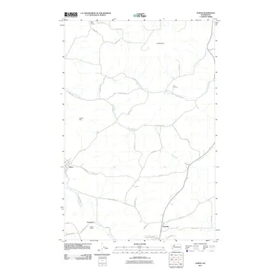
 2014 Albion2014 Print · USGSCovers Pullman, including Albion, Kitzmiller, and other nearby areas
 - 2017 Map of Pullman, 2017 Print
 2017 Pullman2017 Print · USGSCovers Pullman, including Busby, Johnson, and other nearby areas
 - 2017 Map of Albion, 2017 Print
 2017 Albion2017 Print · USGSCovers Pullman, including Albion, Kitzmiller, and other nearby areas
 - 2017 Map of Viola, 2017 Print
 2017 Viola2017 Print · USGSCovers Pullman, including Moscow, Fallon, and other nearby areas
 - 2017 Map of Moscow West, 2017 Print
 2017 Moscow West2017 Print · USGSCovers Pullman, including Moscow, Sunshine, and other nearby areas
 - 2020 Map of Pullman, 2020 Print
 2020 Pullman2020 Print · USGSCovers Pullman, including Busby, Johnson, and other nearby areas
 - 2020 Map of Albion, 2020 Print
 2020 Albion2020 Print · USGSCovers Pullman, including Albion, Kitzmiller, and other nearby areas
 - 2020 Map of Moscow West, 2020 Print
 2020 Moscow West2020 Print · USGSCovers Pullman, including Moscow, Sunshine, and other nearby areas
Showing maps 1-25 of 30
Top cities near Pullman
- Moscow historical maps
- Colfax historical maps
- Palouse historical maps
- Genesee historical maps
- Albion historical maps
- Colton historical maps
See more
Top neighborhoods of Pullman
Frequently asked questions
- What are the different types of historical maps available for Pullman?
- What is the oldest map of Pullman?
- Where can I purchase historical maps of Pullman for my home or office?
- Where can I download high-res historical maps of Pullman?
- Are there historical topographic maps available for Pullman?
- Is there historical aerial imagery available for Pullman?
- Where are historical maps of Pullman sourced from?