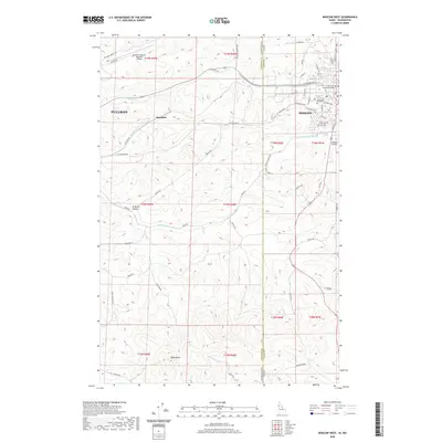
2020 Map of Moscow West
USGS Topo · Published 2020About this map
Moscow and Pullman anchor this survey of the Palouse region, where the state line between Idaho and Washington separates these two major university towns. The University of Idaho campus dominates the eastern edge, with local street networks such as W Pullman Rd and Perimeter Dr providing a detailed view of the academic and residential core. Between the two cities, the landscape transitions into the agricultural and geological character of the region, marked by the rolling drainages of Paradise Cr and the South Fork Palouse River.
Find a feature on this map
69 named features on this map. Tap any name to fly to it.
Don’t see what you’re looking for? This feature index may not catch every label — zoom into the map to look around manually.
Map Details
Editions of this 2020 Moscow West Map
This is the sole edition of this map. No revisions or reprints were ever made.
Other maps of this area

1910 · Pullman
USGS Topo · 1:125,000

1955 · Pullman
USGS Topo · 1:250,000

1958 · Pullman
USGS Topo · 1:250,000

1960 · Robinson Lake
USGS Topo · 1:24,000

1960 · Moscow East
USGS Topo · 1:24,000

1960 · Potlatch
USGS Topo · 1:62,500

1961 · Moscow
USGS Topo · 1:62,500

1964 · Viola
USGS Topo · 1:24,000

1964 · Moscow West
USGS Topo · 1:24,000

1964 · Colton
USGS Topo · 1:24,000