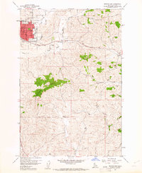
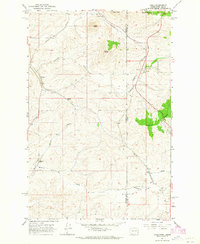
1960 Map of Moscow East
USGS Topo · Published 1961About this map
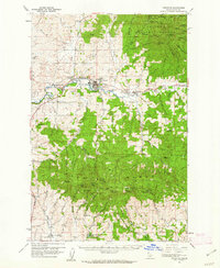
The city of Moscow anchors the northwestern corner of this 1960 survey, showcasing the urban grid of the county seat as it expanded eastward into the Palouse hills. The map highlights key civic institutions of the era, including the Courthouse, High Sch, and Jr High Sch, alongside smaller neighborhood hubs like Russell Sch and Whitmore Sch. This period captures the community before modern suburban sprawl, where the Northern Pacific railroad still defined the transport corridor through the valley of South Fork Paradise Creek.
Find a feature on this map
31 named features on this map. Tap any name to fly to it.
Don’t see what you’re looking for? This feature index may not catch every label — zoom into the map to look around manually.
Map Details
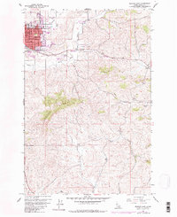
Editions of this 1960 Moscow East Map
3 editions found
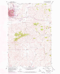
Other maps of this area

1910 · Pullman
USGS Topo · 1:125,000

1955 · Pullman
USGS Topo · 1:250,000

1958 · Pullman
USGS Topo · 1:250,000
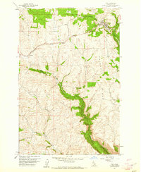
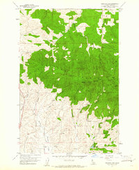
1960 · Troy
USGS Topo · 1:24,000
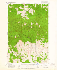
1960 · Robinson Lake
USGS Topo · 1:24,000
1960 · Moscow Mtn
USGS Topo · 1:24,000
1960 · Potlatch
USGS Topo · 1:62,500
1961 · Moscow
USGS Topo · 1:62,500
1964 · Viola
USGS Topo · 1:24,000
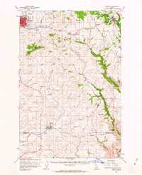
1964 · Moscow West
USGS Topo · 1:24,000