
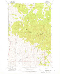
1960 Map of Robinson Lake
USGS Topo · Published 1961About this map
The Palouse Range dominates this 1960s landscape, rising sharply above the headwaters of several critical Idaho drainages. At the heart of the range, Paradise Point and the twin peaks of West Twin and East Twin provide a topographic anchor for the region, with the former hosting Radio Relay Stations and a Lookout. The technical infrastructure of the early 1960s is further represented by several Tower sites and a Gaging Sta situated along the lower creeks.
Find a feature on this map
41 named features on this map. Tap any name to fly to it.
Don’t see what you’re looking for? This feature index may not catch every label — zoom into the map to look around manually.
Map Details
Editions of this 1960 Robinson Lake Map
3 editions found
Other maps of this area

1910 · Pullman
USGS Topo · 1:125,000

1955 · Pullman
USGS Topo · 1:250,000

1958 · Pullman
USGS Topo · 1:250,000

1960 · Troy
USGS Topo · 1:24,000

1960 · Moscow Mtn
USGS Topo · 1:24,000

1960 · Moscow East
USGS Topo · 1:24,000

1960 · Potlatch
USGS Topo · 1:62,500

1961 · Moscow
USGS Topo · 1:62,500

1964 · Viola
USGS Topo · 1:24,000

1964 · Moscow West
USGS Topo · 1:24,000