1964 Map of Viola
USGS Topo · Published 1965About this map
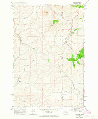
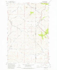
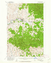
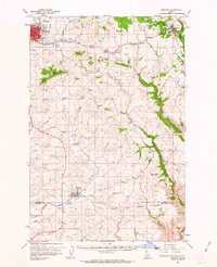
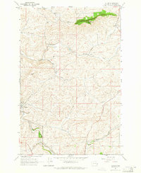
The Washington-Idaho state line bisects this 1964 survey, defining a landscape where the rugged Palouse Range meets the agricultural flats of the Inland Empire. The settlement of Viola serves as a central hub, situated where Fourmile Creek cuts through the terrain. The map documents a critical transportation corridor during the mid-1960s, featuring the parallel routes of the Northern Pacific and Great Northern railroads as they navigate the Palouse hills. Smaller rail-side locales like Fallon, Whelan, and Estes are clearly marked, providing essential reference points for those tracing local family history or the development of regional grain transport. Distinctive topographical features such as Parker Butte, Angel Butte, and Ringo Butte stand out against the drainage patterns of Missouri Flat Creek, illustrating the complex interplay between the elevated timbered ranges and the fertile, rolling bottomlands used for ranching and farming.
Find a feature on this map
20 named features on this map. Tap any name to fly to it.
Don’t see what you’re looking for? This feature index may not catch every label — zoom into the map to look around manually.
Map Details
Editions of this 1964 Viola Map
2 editions found
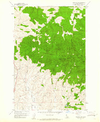
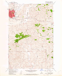
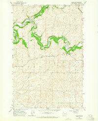
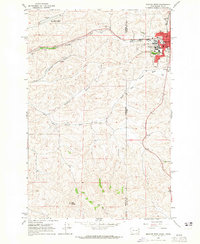
Other maps of this area

1910 · Pullman
USGS Topo · 1:125,000

1955 · Pullman
USGS Topo · 1:250,000

1958 · Pullman
USGS Topo · 1:250,000
1960 · Robinson Lake
USGS Topo · 1:24,000
1960 · Moscow East
USGS Topo · 1:24,000
1960 · Potlatch
USGS Topo · 1:62,500
1961 · Moscow
USGS Topo · 1:62,500
1964 · Elberton
USGS Topo · 1:24,000
1964 · Moscow West
USGS Topo · 1:24,000
1964 · Albion
USGS Topo · 1:24,000