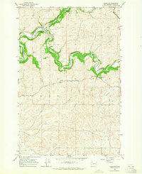
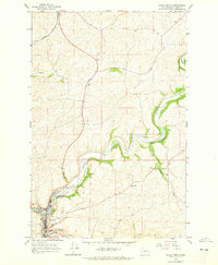
1964 Map of Albion
USGS Topo · Published 1965About this map
Albion serves as the primary hub of this Palouse landscape, situated along the South Fork Palouse River as it winds toward the southwest. The presence of the Union Pacific and Northern Pacific railroads underscores the importance of the grain-shipping economy during the mid-1960s, connecting the small elevators at Armstrong and Kitzmiller to the wider region. The terrain is defined by the prominent Kamiak Butte State Park, which rises sharply above the surrounding agricultural fields and drainages like Fourmile Creek and Missouri Flat Creek. Family and community history is preserved in sites such as Mt Olivet Cem, Pitts Cem, and the Grange Hall located south of the river. This survey captures a moment when rural infrastructure, including a Landing Strip and numerous gravel pits, was integrated into a landscape of complex topography and seasonal watercourses like Rose Creek.
Find a feature on this map
20 named features on this map. Tap any name to fly to it.
Don’t see what you’re looking for? This feature index may not catch every label — zoom into the map to look around manually.
Map Details
Editions of this 1964 Albion Map
This is the sole edition of this map. No revisions or reprints were ever made.
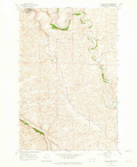
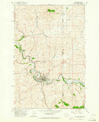
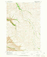
Other maps of this area

1910 · Pullman
USGS Topo · 1:125,000

1955 · Pullman
USGS Topo · 1:250,000

1958 · Pullman
USGS Topo · 1:250,000
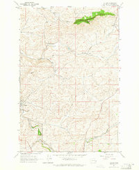
1964 · Viola
USGS Topo · 1:24,000
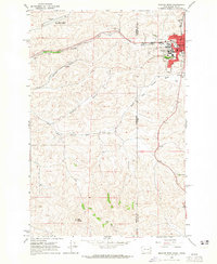
1964 · Elberton
USGS Topo · 1:24,000
1964 · Moscow West
USGS Topo · 1:24,000
1964 · Colfax North
USGS Topo · 1:24,000
1964 · Colfax South
USGS Topo · 1:24,000
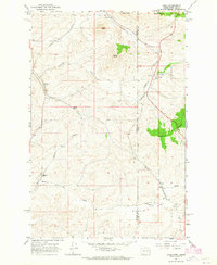
1964 · Palouse
USGS Topo · 1:24,000
1964 · Ewartsville
USGS Topo · 1:24,000