2000s (21st Century) Maps of Pullman, Washington
Explore 20 historic maps of Pullman from the 2000s (21st Century). These maps offer a rare glimpse into what life looked like during the 2000s — showing old roads, neighborhoods, homes, and landmarks that have changed or disappeared over time.
Whether you're researching your family's past, planning a metal detecting trip, or studying how Pullman's landscape evolved across the 2000s, these high-resolution maps are a powerful tool for exploring the history of this region.
- Focus on a specific era: All maps on this page are from the 2000s, giving you a focused view of this time period.
- See what’s changed: Compare century-old streets, trails, and buildings to today's modern landscape using overlays and satellite layers.
- Research with precision: Use these maps for genealogy, historical research, land use analysis, or educational projects.
- View, download, or print: Maps are fully viewable online in high resolution, and can be downloaded or printed for your own records.
Start exploring Pullman's history through authentic maps from the 2000s. This is your window into the past.
Pullman, WA maps
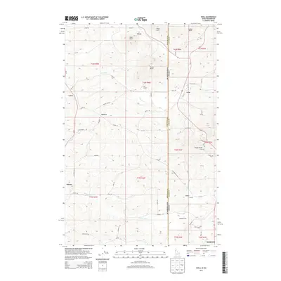
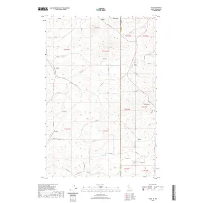
(20)- 2011 Map of Viola, 2011 Print
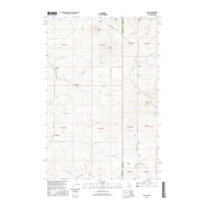
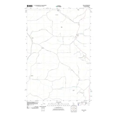 2011 Viola2011 Print · USGSCovers Pullman, including Moscow, Fallon, and other nearby areas
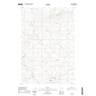
 - 2011 Map of Albion, 2011 Print
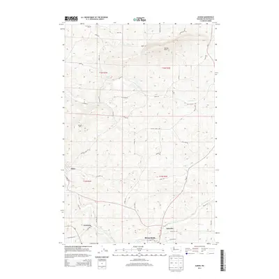
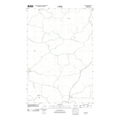 2011 Albion2011 Print · USGSCovers Pullman, including Albion, Kitzmiller, and other nearby areas
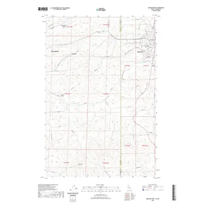
 - 2011 Map of Moscow West, 2011 Print
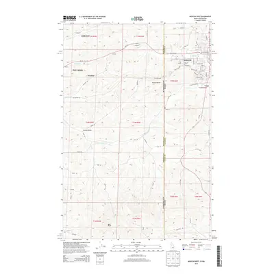
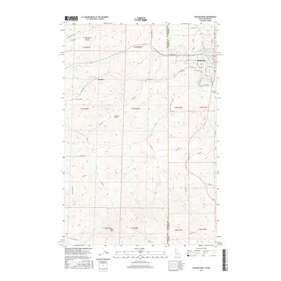
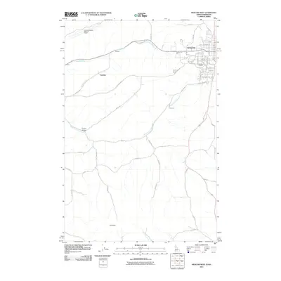 2011 Moscow West2011 Print · USGSCovers Pullman, including Moscow, Sunshine, and other nearby areas
 - 2011 Map of Pullman, 2011 Print
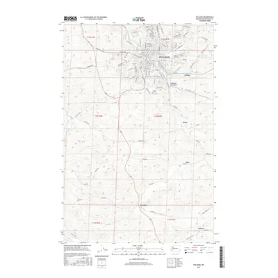
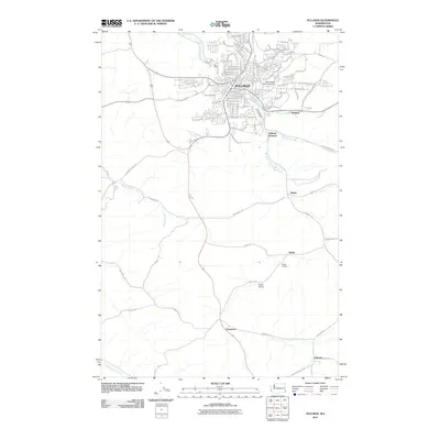 2011 Pullman2011 Print · USGSCovers Pullman, including Busby, Johnson, and other nearby areas
 - 2013 Map of Moscow West, 2013 Print
 2013 Moscow West2013 Print · USGSCovers Pullman, including Moscow, Sunshine, and other nearby areas
 - 2013 Map of Viola, 2013 Print
 2013 Viola2013 Print · USGSCovers Pullman, including Moscow, Fallon, and other nearby areas
 - 2013 Map of Pullman, 2013 Print
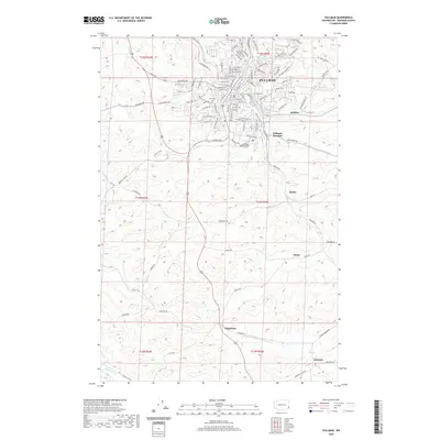
 2013 Pullman2013 Print · USGSCovers Pullman, including Busby, Johnson, and other nearby areas
 - 2014 Map of Albion, 2014 Print
 2014 Albion2014 Print · USGSCovers Pullman, including Albion, Kitzmiller, and other nearby areas
 - 2017 Map of Pullman, 2017 Print
 2017 Pullman2017 Print · USGSCovers Pullman, including Busby, Johnson, and other nearby areas
 - 2017 Map of Albion, 2017 Print
 2017 Albion2017 Print · USGSCovers Pullman, including Albion, Kitzmiller, and other nearby areas
 - 2017 Map of Viola, 2017 Print
 2017 Viola2017 Print · USGSCovers Pullman, including Moscow, Fallon, and other nearby areas
 - 2017 Map of Moscow West, 2017 Print
 2017 Moscow West2017 Print · USGSCovers Pullman, including Moscow, Sunshine, and other nearby areas
 - 2020 Map of Pullman, 2020 Print
 2020 Pullman2020 Print · USGSCovers Pullman, including Busby, Johnson, and other nearby areas
 - 2020 Map of Albion, 2020 Print
 2020 Albion2020 Print · USGSCovers Pullman, including Albion, Kitzmiller, and other nearby areas
 - 2020 Map of Moscow West, 2020 Print
 2020 Moscow West2020 Print · USGSCovers Pullman, including Moscow, Sunshine, and other nearby areas
 - 2020 Map of Viola, 2020 Print
 2020 Viola2020 Print · USGSCovers Pullman, including Moscow, Fallon, and other nearby areas
 - 2023 Map of Pullman, 2023 Print
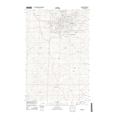
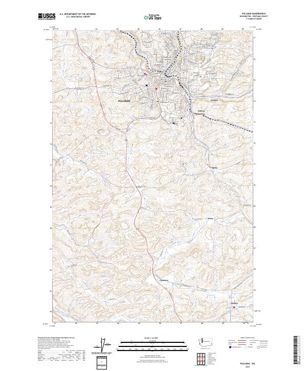 2023 Pullman2023 Print · USGSPullman and its agricultural surrounds are captured in this recent survey, showcasing the enduring layout of the Palouse landscape. Researchers can trace family roots through Pullman City Cem, Odd Fellows Cem, and outlying points like Staley and Johnson.
 - 2023 Map of Albion, 2023 Print
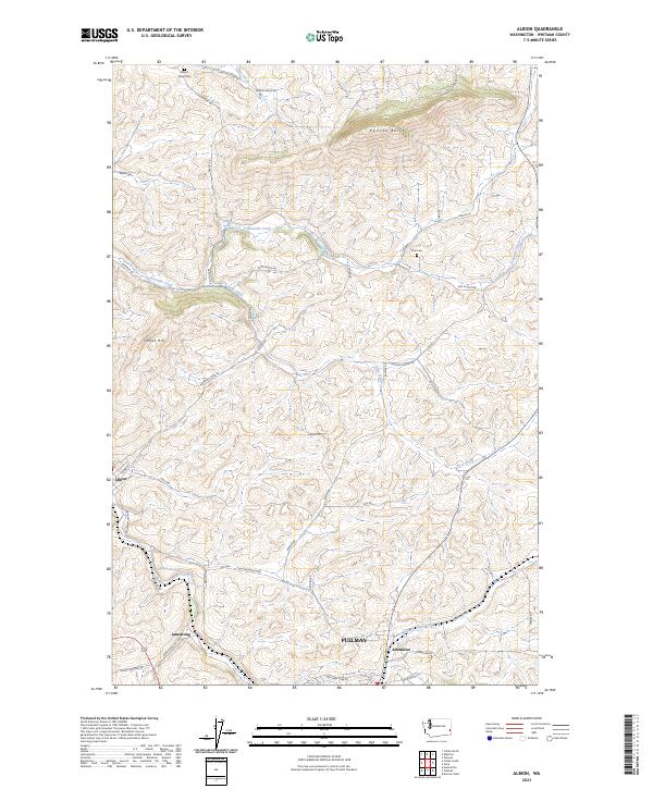 2023 Albion2023 Print · USGSWhitman County's agricultural heartland is documented here in the early twenty-first century, spanning the rolling hills between the river and the rising buttes. Researchers can trace family sites near Mount Olivet Cem or follow the early routes connecting Albion and Pullman.
 - 2024 Map of Moscow West, 2024 Print
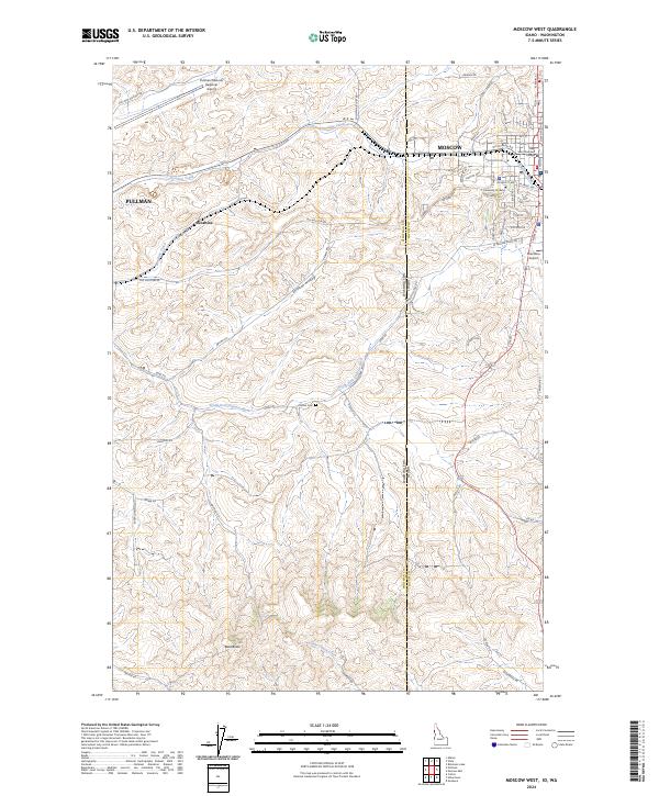 2024 Moscow West2024 Print · USGSThe Palouse borderlands come into focus in this recent survey of the region between two major university towns. Genealogists and local historians can locate Clinton Cem, the small settlement of Sunshine, and the campus grounds of the University of Idaho.
 - 2024 Map of Viola, 2024 Print
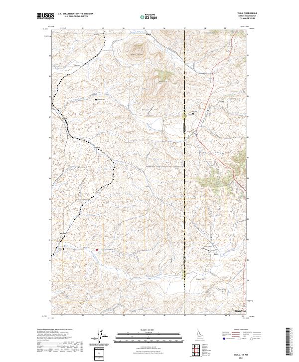 2024 Viola2024 Print · USGSThe Idaho-Washington borderlands near the Palouse Range are documented here in their modern agricultural and rural state. Genealogists can locate several family burial grounds including Coleman Cem and Viola Cem near the settlements of Whelan and Estes.
End of results
Showing maps 1-20 of 20
Top cities near Pullman
- Moscow historical maps
- Colfax historical maps
- Palouse historical maps
- Genesee historical maps
- Albion historical maps
- Colton historical maps
See more
Top neighborhoods of Pullman
Frequently asked questions
- What are the different types of historical maps available for Pullman?
- What is the oldest map of Pullman?
- Where can I purchase historical maps of Pullman for my home or office?
- Where can I download high-res historical maps of Pullman?
- Are there historical topographic maps available for Pullman?
- Is there historical aerial imagery available for Pullman?
- Where are historical maps of Pullman sourced from?