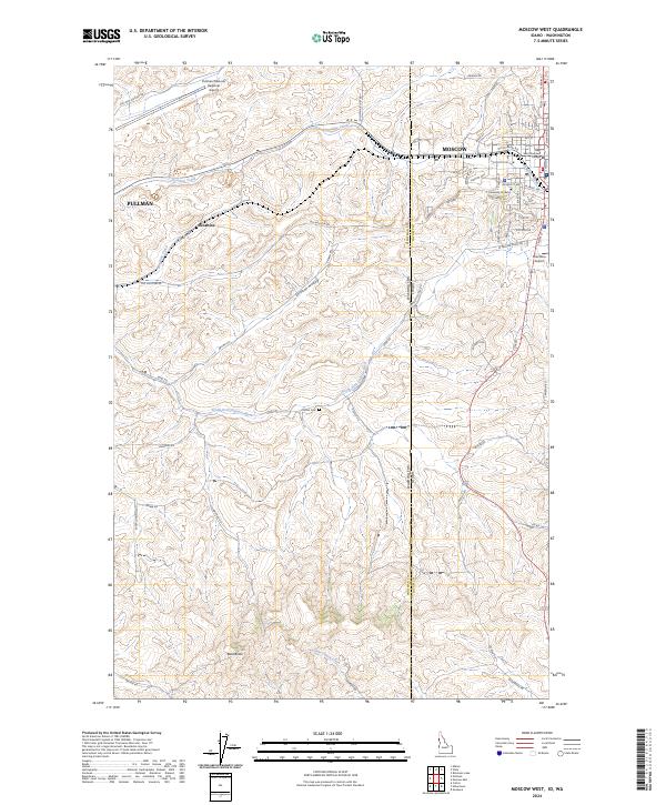
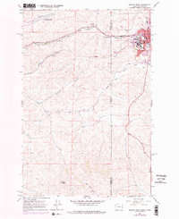
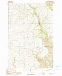
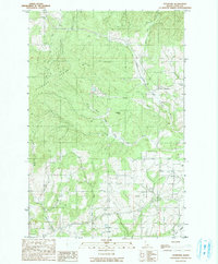
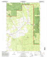
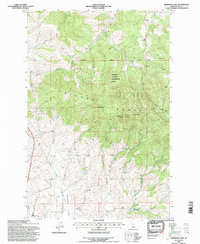
2024 Map of Moscow West
USGS Topo · Published 2024About this map
The University of Idaho campus and the western edges of Moscow anchor the eastern side of this map, while the city of Pullman lies just beyond the western boundary. This borderland landscape is defined by the winding course of the South Fork Palouse River and Paradise Creek, which cut through the rolling Palouse hills. The state line between Washington and Idaho bisects the area, marked by the transition from the Whitman County road network to Latah County's rural routes.
Find a feature on this map
72 named features on this map. Tap any name to fly to it.
Don’t see what you’re looking for? This feature index may not catch every label — zoom into the map to look around manually.
Map Details
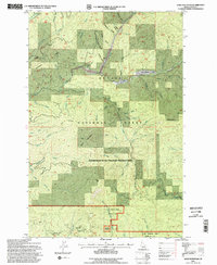
Editions of this 2024 Moscow West Map
This is the sole edition of this map. No revisions or reprints were ever made.
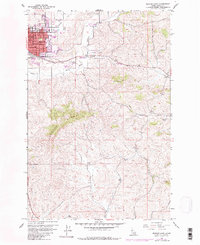
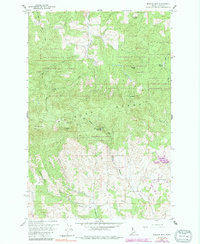
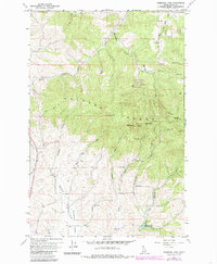
Historical Maps of Pullman Through Time
36 maps found
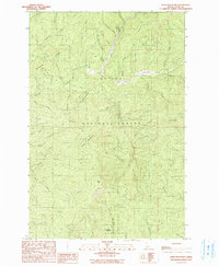
1960 Moscow East
Latah County, ID
1960 Moscow Mountain
Latah County, ID
1960 Robinson Lake
Latah County, ID
1964 Moscow West
Latah County, ID
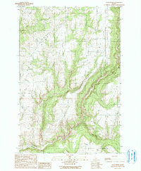
1975 Moscow East
Latah County, ID
1985 Mission Mountain
Latah County, ID
1990 Abes Knob
Latah County, ID
1990 Green Knob
Latah County, ID
1990 Harvard
Latah County, ID
1990 Little Bear Ridge
Latah County, ID
1990 Park
Latah County, ID
1990 Sand Mountain
Latah County, ID
1990 Stanford
Latah County, ID
1990 Texas Ridge
Latah County, ID
1994 Abes Knob
Latah County, ID
1994 Harvard
Latah County, ID
1994 Mission Mountain
Latah County, ID
1994 Moscow Mountain
Latah County, ID
1994 Park
Latah County, ID
1994 Robinson Lake
Latah County, ID
1994 Sand Mountain
Latah County, ID
1994 Stanford
Latah County, ID
1994 Texas Ridge
Latah County, ID
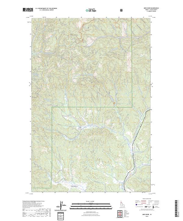
2024 Abes Knob
Latah County, ID
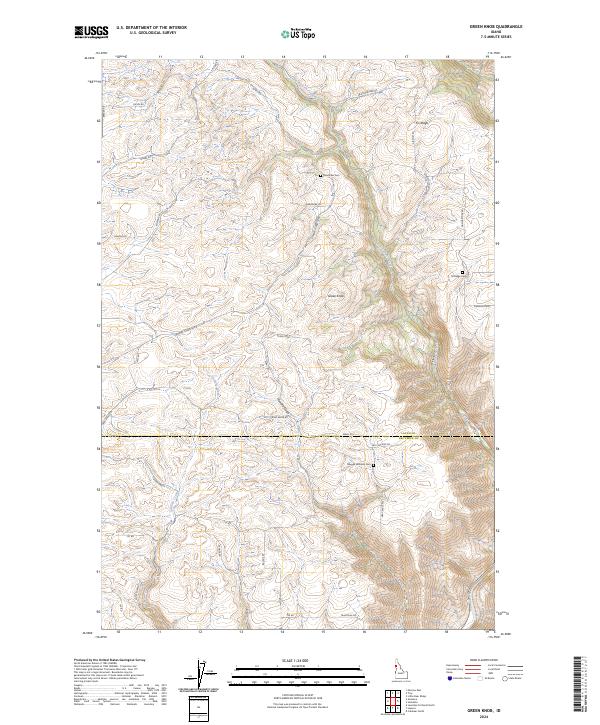
2024 Green Knob
Latah County, ID
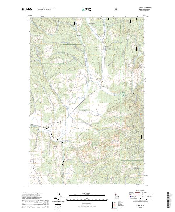
2024 Harvard
Latah County, ID
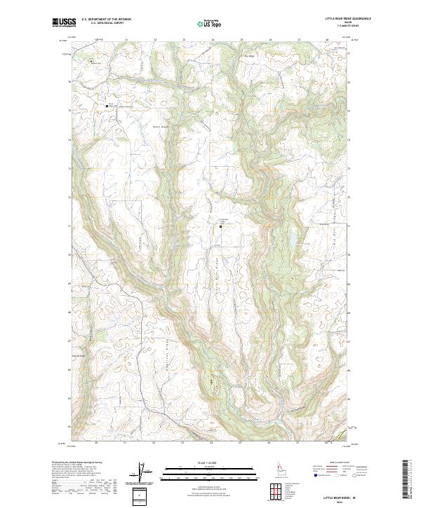
2024 Little Bear Ridge
Latah County, ID
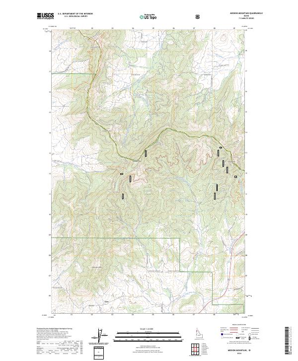
2024 Mission Mountain
Latah County, ID
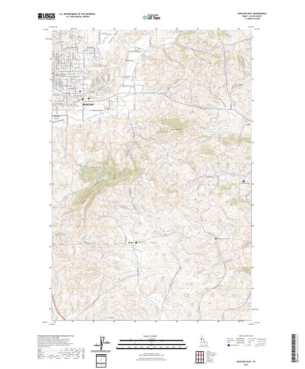
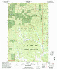
2024 Moscow East
Latah County, ID
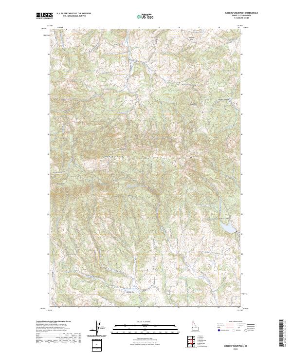
2024 Moscow Mountain
Latah County, ID
2024 Moscow West
Latah County, ID
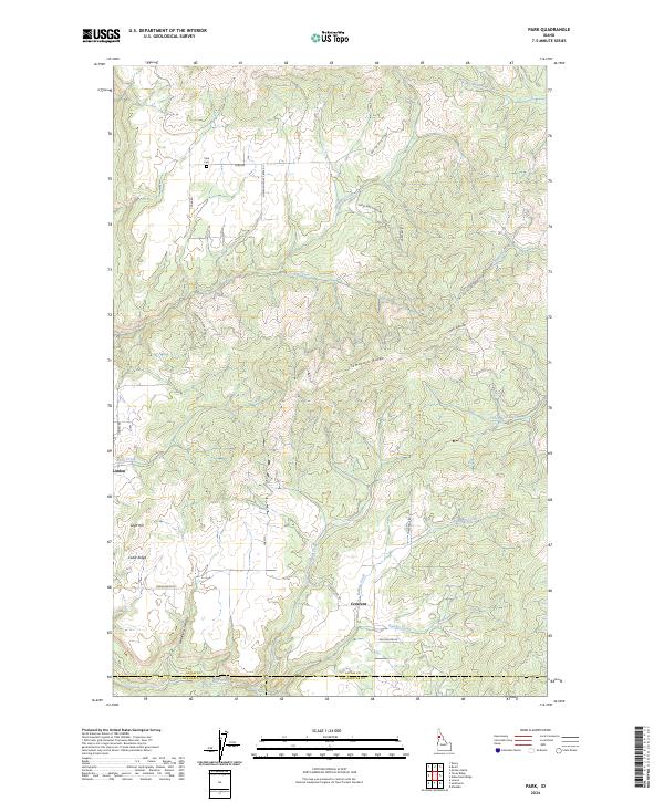
2024 Park
Latah County, ID
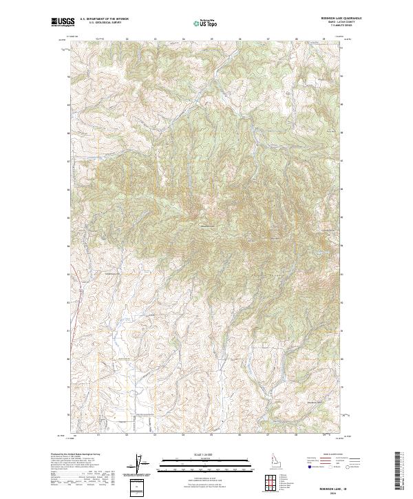
2024 Robinson Lake
Latah County, ID
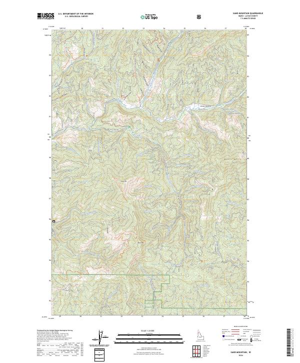
2024 Sand Mountain
Latah County, ID
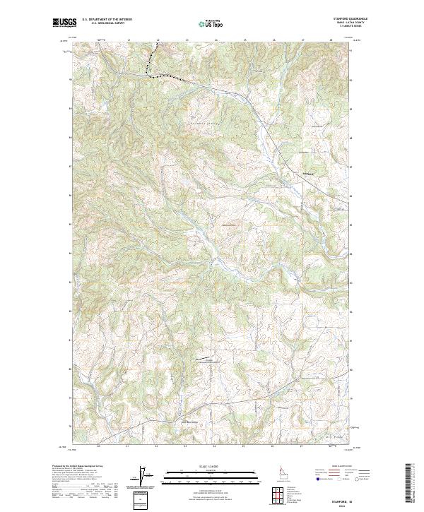
2024 Stanford
Latah County, ID
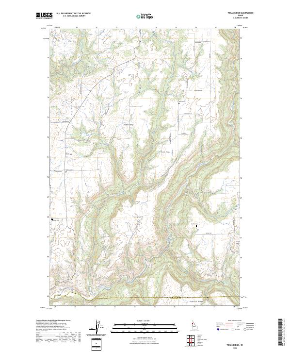
2024 Texas Ridge
Latah County, ID