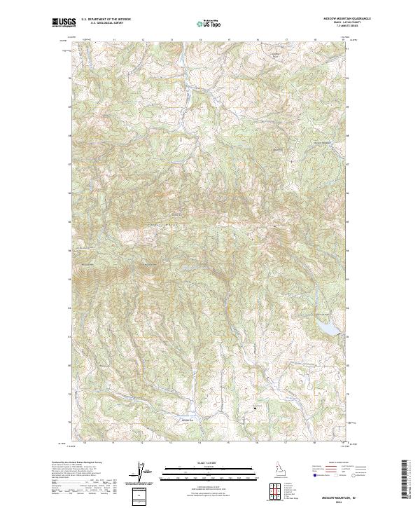
2024 Map of Moscow Mountain
USGS Topo · Published 2024About this map
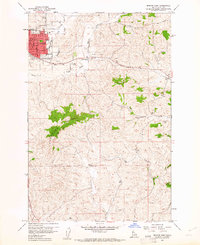
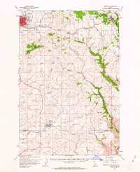
Moscow Mtn and East Moscow Mtn anchor this section of the Palouse Range in Latah County, defining a landscape of high ridges and narrow drainage basins. The area is characterized by a transition from the forested heights of Basalt Hill and Browns Meadow in the north to the agricultural lowlands near Randall Flat in the south. Several significant water sources originate here, including Hatter Creek and Spring Valley Creek, while the Village of Troy Reservoir serves as a critical water management point for the nearby community.
Find a feature on this map
43 named features on this map. Tap any name to fly to it.
Don’t see what you’re looking for? This feature index may not catch every label — zoom into the map to look around manually.
Map Details
Editions of this 2024 Moscow Mountain Map
This is the sole edition of this map. No revisions or reprints were ever made.
Other maps of this area

1955 · Pullman
USGS Topo · 1:250,000

1958 · Pullman
USGS Topo · 1:250,000
1960 · Troy
USGS Topo · 1:24,000
1960 · Robinson Lake
USGS Topo · 1:24,000
1960 · Moscow Mtn
USGS Topo · 1:24,000
1960 · Moscow East
USGS Topo · 1:24,000
1960 · Potlatch
USGS Topo · 1:62,500
1961 · Deary
USGS Topo · 1:62,500
1961 · Kendrick
USGS Topo · 1:62,500
1961 · Moscow
USGS Topo · 1:62,500