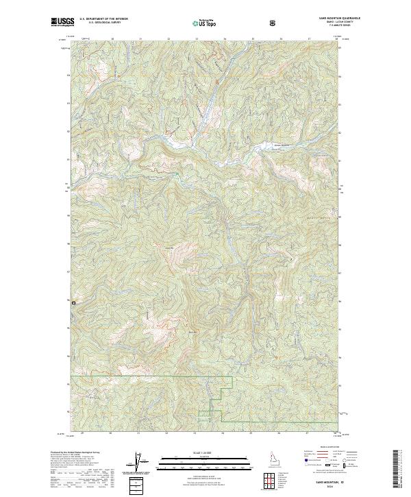
2024 Map of Sand Mountain
USGS Topo · Published 2024About this map
St Joe National Forest dominates this landscape in Latah County, where the high ridges of the Bitterroot foothills form a complex drainage network for the upper Palouse River system. The terrain is defined by prominent peaks like Sand Mtn and Mica Mtn, with elevations falling away into deep drainages such as Strychnine Creek and Big Sand Creek. The presence of several historic gulches, including Beagle Gulch, Cleveland Gulch, and Greenhorn Gulch, points to the area's legacy of resource exploration and timber management.
Find a feature on this map
57 named features on this map. Tap any name to fly to it.
Don’t see what you’re looking for? This feature index may not catch every label — zoom into the map to look around manually.
Map Details
Editions of this 2024 Sand Mountain Map
This is the sole edition of this map. No revisions or reprints were ever made.
Other maps of this area

1955 · Pullman
USGS Topo · 1:250,000

1955 · Spokane
USGS Topo · 1:250,000

1957 · Emida
USGS Topo · 1:62,500

1958 · Spokane
USGS Topo · 1:250,000

1958 · Pullman
USGS Topo · 1:250,000

1961 · Deary
USGS Topo · 1:62,500

1961 · Fernwood
USGS Topo · 1:62,500

1961 · Bovill
USGS Topo · 1:62,500

1981 · St Maries
USGS Topo · 1:100,000

1981 · Potlatch
USGS Topo · 1:100,000