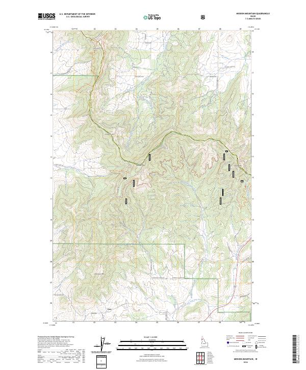
2024 Map of Mission Mountain
USGS Topo · Published 2024About this map
Cora stands at the southern edge of this landscape, serving as a gateway to the steep, wooded drainages of the St. Joe National Forest. This region is defined by a series of prominent peaks, including Mission Mtn, Lone Jack Mtn, and Huckleberry Mtn, which separate the many forks of the Mission, Deep, and Pine creeks. The map documents a complex network of forest access and logging roads, such as Skyline Dr, King Valley Rd, and Cowboy Country Rd, that navigate the ridgelines and valley floors across the Latah and Benewah county line. Significant water features like Middle Fork Mission Creek and Silver Creek highlight the drainage patterns of this upland territory. Of particular note to those studying the area's recreational and forest history is the Korth Trl, which provides passage through the heart of the national forest land.
Find a feature on this map
42 named features on this map. Tap any name to fly to it.
Don’t see what you’re looking for? This feature index may not catch every label — zoom into the map to look around manually.
Map Details
Editions of this 2024 Mission Mountain Map
This is the sole edition of this map. No revisions or reprints were ever made.
Other maps of this area

1903 · Oakesdale
USGS Topo · 1:125,000

1905 · Oakesdale
USGS Topo · 1:125,000

1910 · Pullman
USGS Topo · 1:125,000

1955 · Pullman
USGS Topo · 1:250,000

1955 · Spokane
USGS Topo · 1:250,000

1957 · Tensed
USGS Topo · 1:62,500

1958 · Spokane
USGS Topo · 1:250,000

1958 · Pullman
USGS Topo · 1:250,000

1960 · Potlatch
USGS Topo · 1:62,500

1964 · Tekoa
USGS Topo · 1:24,000