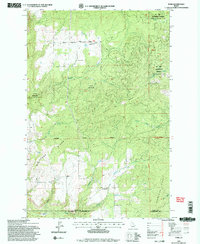
1994 Map of Park
USGS Topo · Published 1997About this map
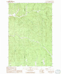
Park and Crescent serve as the primary markers of settlement in this timber-rich portion of Idaho as it appeared in the mid-1990s. The landscape is dominated by the Palouse Ranger District and sections of the St Joe National Forest, showing a region defined by commercial forestry and conservation management. High ridges such as Tamarack Ridge and Cedar Ridge divide numerous drainage systems, including Three Bear Creek and Long Meadow Creek. Local resource extraction is evidenced by the Gravel Pit near the Landing Strip, while the naming of Norwegian Ridge and Longfellow Gulch hints at the ethnic and cultural history of the homesteaders and loggers who once worked these slopes. The map also delineates administrative lines, such as the Latah County and Clearwater County boundary, reflecting the jurisdictional complexities of managing these forest lands.
Find a feature on this map
27 named features on this map. Tap any name to fly to it.
Don’t see what you’re looking for? This feature index may not catch every label — zoom into the map to look around manually.
Map Details
Editions of this 1994 Park Map
2 editions found
Other maps of this area

1955 · Pullman
USGS Topo · 1:250,000

1958 · Pullman
USGS Topo · 1:250,000

1961 · Deary
USGS Topo · 1:62,500

1961 · Kendrick
USGS Topo · 1:62,500

1961 · Ahsahka
USGS Topo · 1:62,500

1961 · Bovill
USGS Topo · 1:62,500

1981 · Potlatch
USGS Topo · 1:100,000
1990 · Ahsahka
USGS Topo · 1:24,000
1990 · Lenore
USGS Topo · 1:24,000
1990 · Mc Gary Butte
USGS Topo · 1:24,000