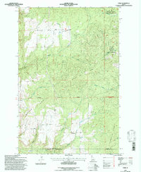
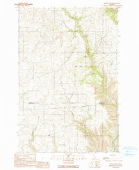
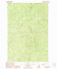
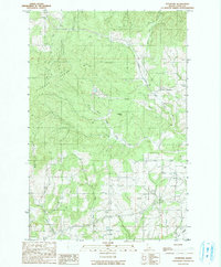
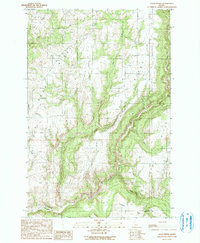
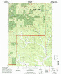
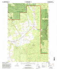
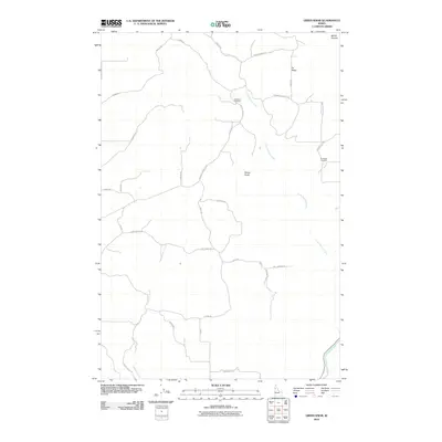
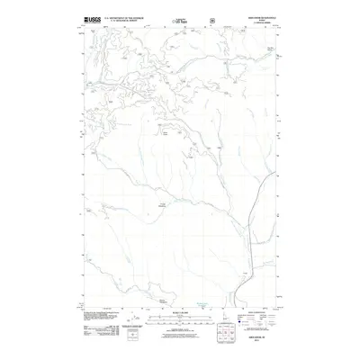
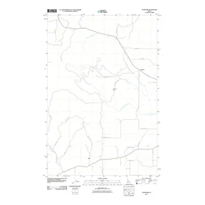
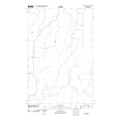
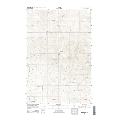
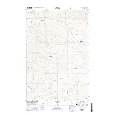
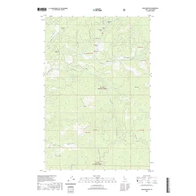
1994 Map of Park
USGS Topo · Published 1997About this map
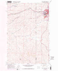
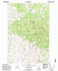
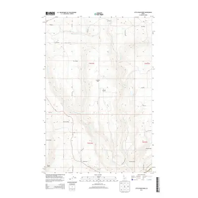
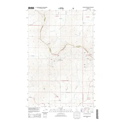
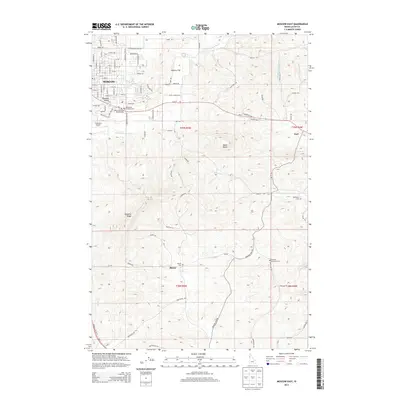
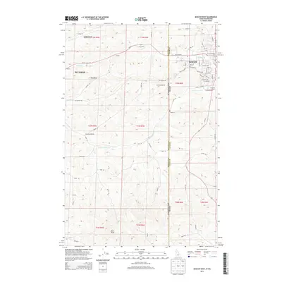
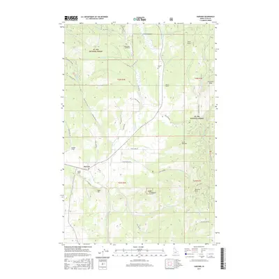
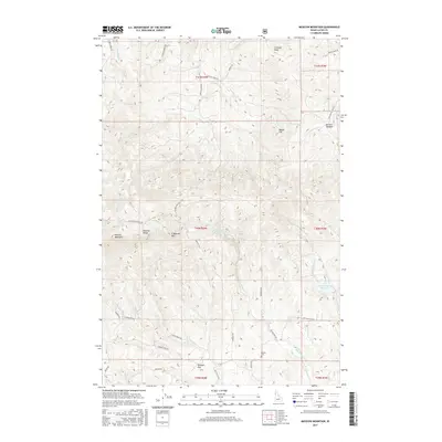
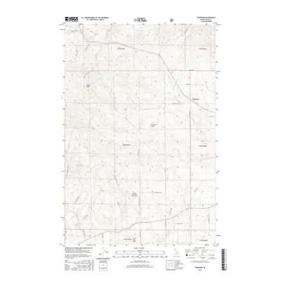
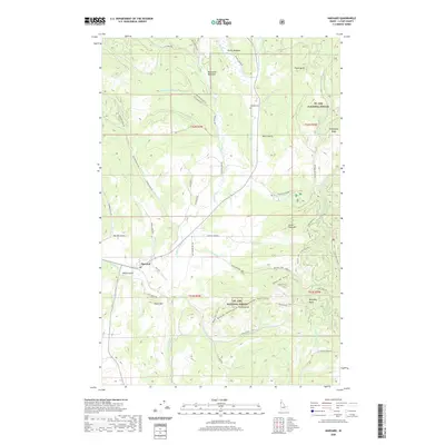
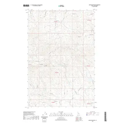
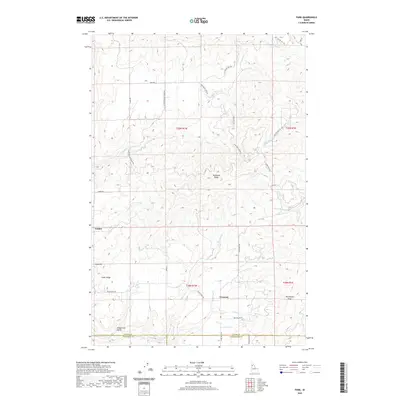
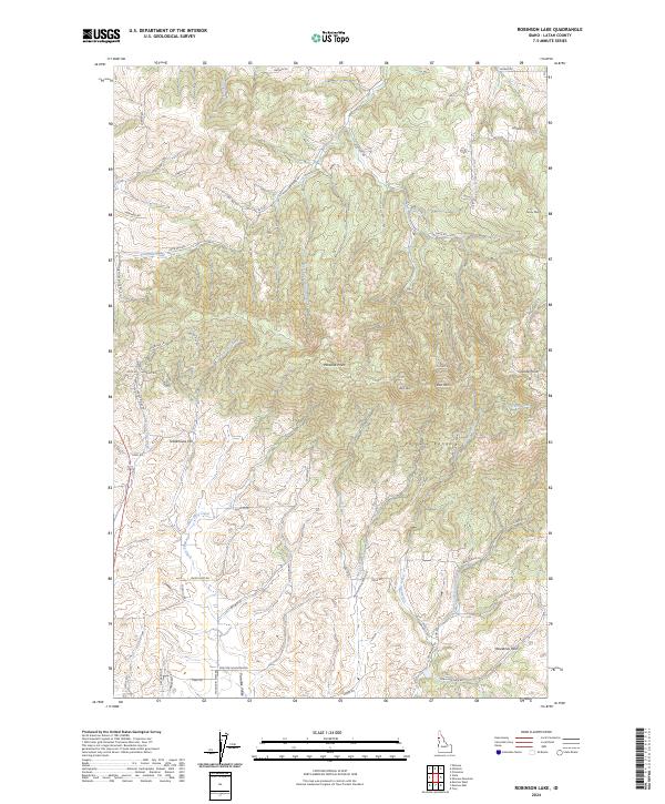
Park and Crescent occupy the western edge of the Clearwater region, where the timbered slopes of the St Joe National Forest meet high-altitude plateaus. The landscape is defined by a dense network of mountain drainages, including Three Bear Creek, Boulder Creek, and Bedbug Creek, which carve through prominent landforms like Tamarack Ridge and Norwegian Ridge. This mid-1990s record reflects the ongoing management of the Palouse Ranger District, showing a mix of resource extraction at the Gravel Pit and localized aviation at the Landing Strip. Historically, the presence of a Windmill near Park and the naming of Cedar Ridge suggest a past reliant on both upland agriculture and forest products. The map also delineates the precise intersections of the Latah, Nez Perce, and Clearwater county boundaries, making it an essential reference for understanding regional land use and administrative history.
Find a feature on this map
29 named features on this map. Tap any name to fly to it.
Don’t see what you’re looking for? This feature index may not catch every label — zoom into the map to look around manually.
Map Details
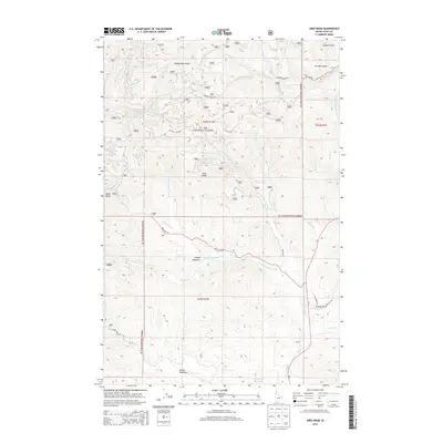
Editions of this 1994 Park Map
2 editions found
Historical Maps of Nez Perce County Through Time
88 maps found
1960 Moscow East
Latah County, ID
1960 Moscow Mountain
Latah County, ID
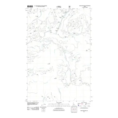
1960 Robinson Lake
Latah County, ID
1964 Moscow West
Latah County, ID
1975 Moscow East
Latah County, ID
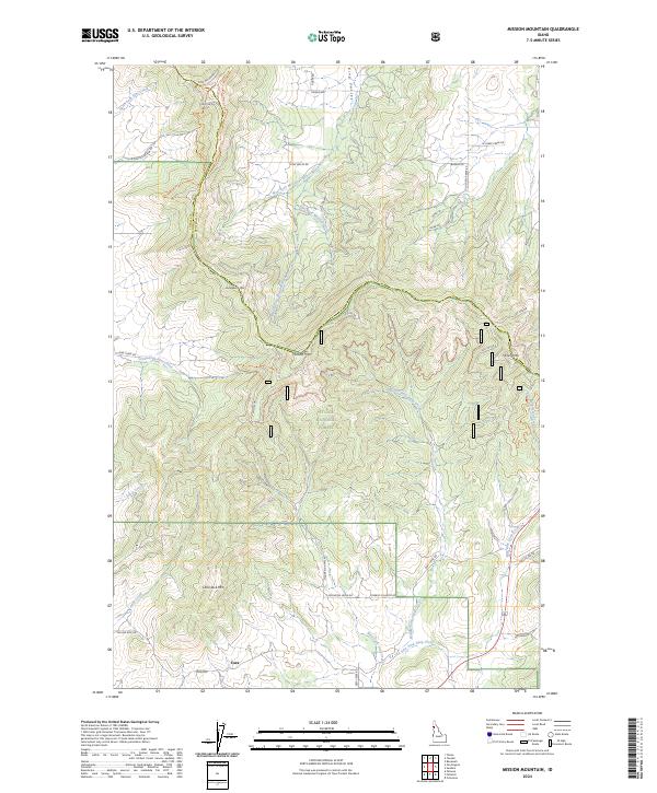
1985 Mission Mountain
Latah County, ID
1990 Abes Knob
Latah County, ID
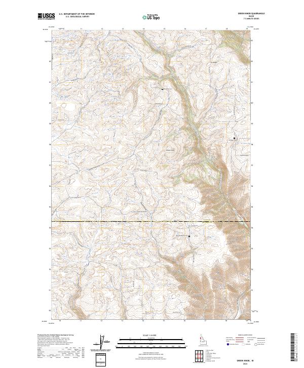
1990 Green Knob
Latah County, ID
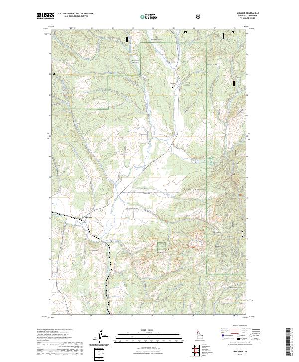
1990 Harvard
Latah County, ID
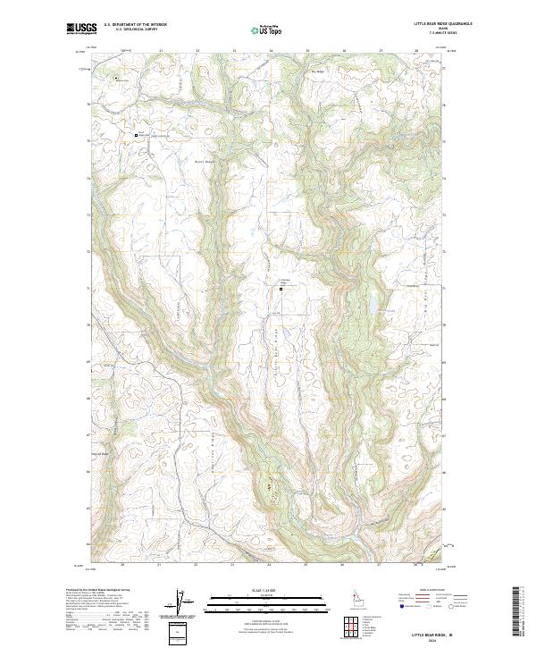
1990 Little Bear Ridge
Latah County, ID
1990 Park
Latah County, ID
1990 Sand Mountain
Latah County, ID
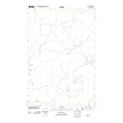
1990 Stanford
Latah County, ID
1990 Texas Ridge
Latah County, ID
1994 Abes Knob
Latah County, ID
1994 Harvard
Latah County, ID
1994 Mission Mountain
Latah County, ID
1994 Moscow Mountain
Latah County, ID
1994 Park
Latah County, ID
1994 Robinson Lake
Latah County, ID
1994 Sand Mountain
Latah County, ID
1994 Stanford
Latah County, ID
1994 Texas Ridge
Latah County, ID
2010 Green Knob
Latah County, ID
2010 Little Bear Ridge
Latah County, ID
2010 Moscow East
Latah County, ID
2010 Robinson Lake
Latah County, ID
2011 Abes Knob
Latah County, ID
2011 Harvard
Latah County, ID
2011 Mission Mountain
Latah County, ID
2011 Moscow Mountain
Latah County, ID
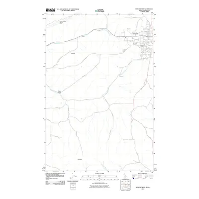
2011 Moscow West
Latah County, ID
2011 Park
Latah County, ID
2011 Sand Mountain
Latah County, ID
2011 Stanford
Latah County, ID
2011 Texas Ridge
Latah County, ID
2013 Abes Knob
Latah County, ID
2013 Green Knob
Latah County, ID
2013 Harvard
Latah County, ID
2013 Little Bear Ridge
Latah County, ID
2013 Mission Mountain
Latah County, ID
2013 Moscow East
Latah County, ID
2013 Moscow West
Latah County, ID
2013 Robinson Lake
Latah County, ID
2013 Sand Mountain
Latah County, ID
2014 Moscow Mountain
Latah County, ID
2014 Park
Latah County, ID
2014 Stanford
Latah County, ID
2014 Texas Ridge
Latah County, ID
2017 Abes Knob
Latah County, ID
2017 Green Knob
Latah County, ID
2017 Harvard
Latah County, ID
2017 Little Bear Ridge
Latah County, ID
2017 Mission Mountain
Latah County, ID
2017 Moscow East
Latah County, ID
2017 Moscow Mountain
Latah County, ID
2017 Moscow West
Latah County, ID

2017 Park
Latah County, ID
2017 Robinson Lake
Latah County, ID
2017 Sand Mountain
Latah County, ID
2017 Stanford
Latah County, ID
2017 Texas Ridge
Latah County, ID
2020 Abes Knob
Latah County, ID
2020 Green Knob
Latah County, ID
2020 Harvard
Latah County, ID
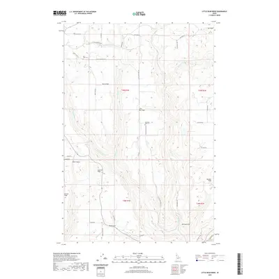
2020 Little Bear Ridge
Latah County, ID
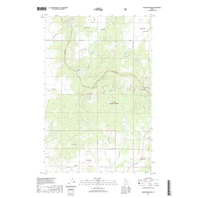
2020 Mission Mountain
Latah County, ID
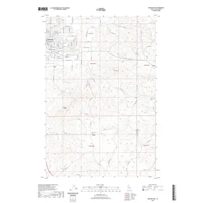
2020 Moscow East
Latah County, ID
2020 Moscow Mountain
Latah County, ID
2020 Moscow West
Latah County, ID
2020 Park
Latah County, ID
2020 Robinson Lake
Latah County, ID
2020 Sand Mountain
Latah County, ID
2020 Stanford
Latah County, ID
2020 Texas Ridge
Latah County, ID
2024 Abes Knob
Latah County, ID
2024 Green Knob
Latah County, ID
2024 Harvard
Latah County, ID
2024 Little Bear Ridge
Latah County, ID
2024 Mission Mountain
Latah County, ID
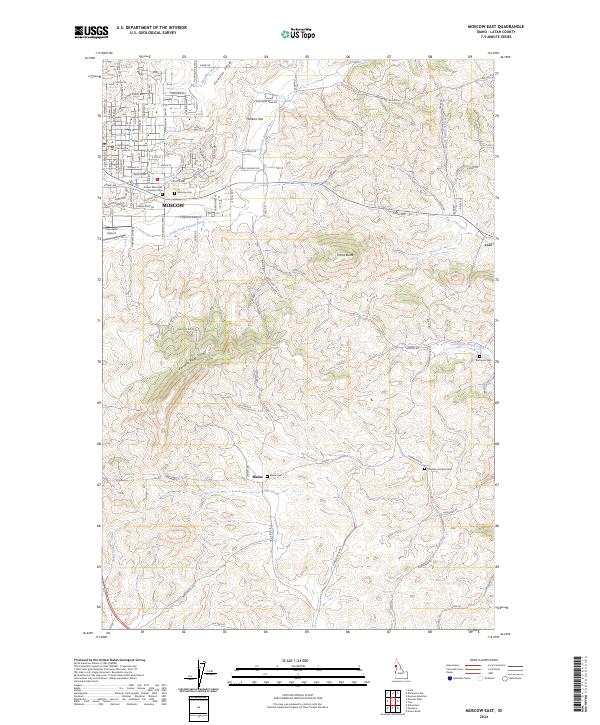
2024 Moscow East
Latah County, ID
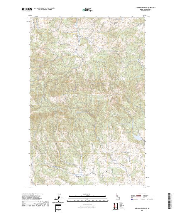
2024 Moscow Mountain
Latah County, ID
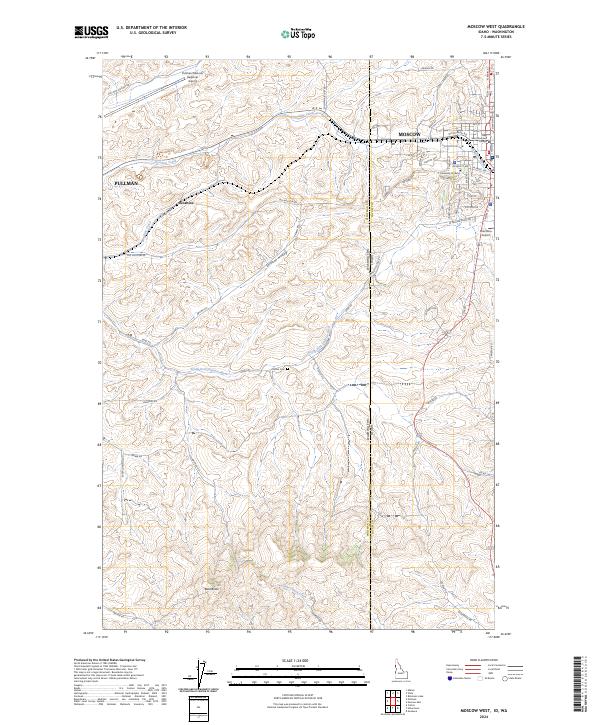
2024 Moscow West
Latah County, ID
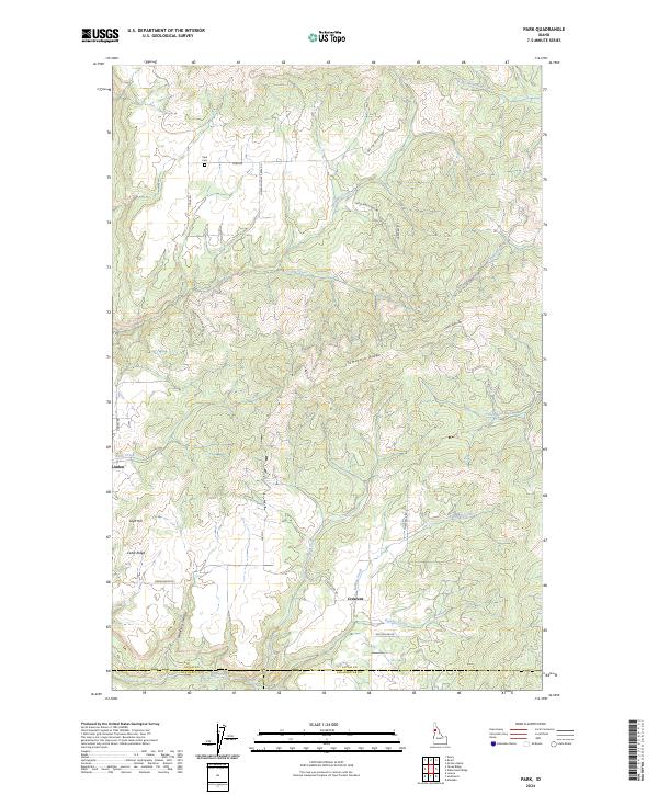
2024 Park
Latah County, ID
2024 Robinson Lake
Latah County, ID
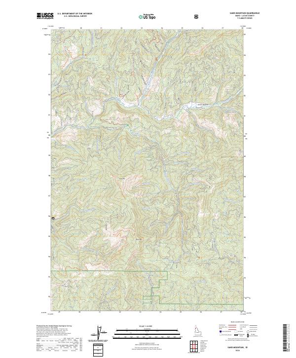
2024 Sand Mountain
Latah County, ID
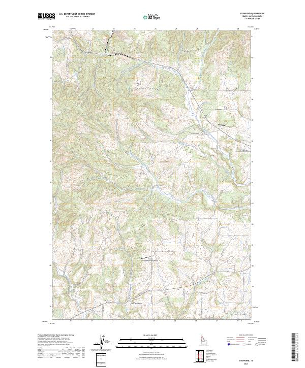
2024 Stanford
Latah County, ID
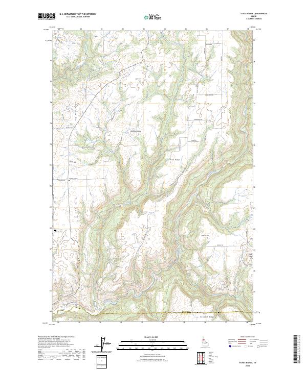
2024 Texas Ridge
Latah County, ID