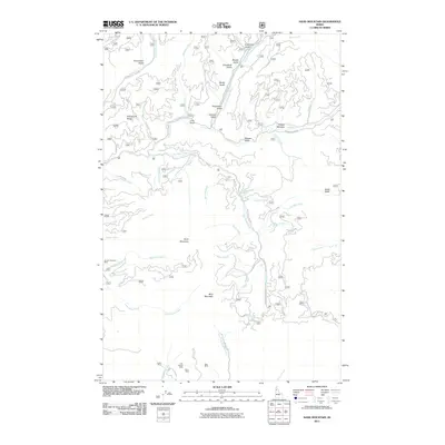
2011 Map of Sand Mountain
USGS Topo · Published 2011About this map
Mica Mountain and Sand Mountain anchor this rugged stretch of Latah County, defined by the winding drainages of the Palouse River and its numerous tributaries. The landscape is marked by a legacy of resource extraction, with several named mining operations concentrated in the southern reach of the quadrangle. Operations such as the Luella Mine, Last Chance Mine, Olson Mine, and Doer Mine are situated near the headwaters of Schwartz Creek, suggesting a historic pocket of mineral interest in the hills.
Find a feature on this map
56 named features on this map. Tap any name to fly to it.
Don’t see what you’re looking for? This feature index may not catch every label — zoom into the map to look around manually.
Map Details
Editions of this 2011 Sand Mountain Map
This is the sole edition of this map. No revisions or reprints were ever made.
Other maps of this area

1955 · Pullman
USGS Topo · 1:250,000

1955 · Spokane
USGS Topo · 1:250,000

1957 · Emida
USGS Topo · 1:62,500

1958 · Spokane
USGS Topo · 1:250,000

1958 · Pullman
USGS Topo · 1:250,000

1961 · Deary
USGS Topo · 1:62,500

1961 · Fernwood
USGS Topo · 1:62,500

1961 · Bovill
USGS Topo · 1:62,500

1981 · St Maries
USGS Topo · 1:100,000

1981 · Potlatch
USGS Topo · 1:100,000