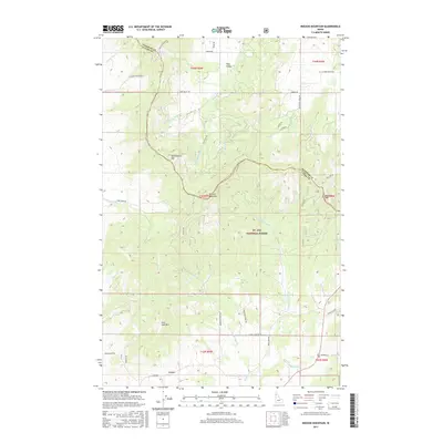
2017 Map of Mission Mountain
USGS Topo · Published 2017About this map
Mission Mountain stands at the heart of this landscape along the border of Benewah and Latah Counties, where the headwaters of numerous creeks diverge through the high country. The terrain is defined by the drainage systems of Mission Cr and Deep Cr, which flow through the protected boundaries of the St. Joe National Forest. The presence of Logging Rd and various forest access routes like Skyline Dr highlights the area's ongoing relationship with the timber industry and resource management.
Find a feature on this map
47 named features on this map. Tap any name to fly to it.
Don’t see what you’re looking for? This feature index may not catch every label — zoom into the map to look around manually.
Map Details
Editions of this 2017 Mission Mountain Map
This is the sole edition of this map. No revisions or reprints were ever made.
Other maps of this area

1903 · Oakesdale
USGS Topo · 1:125,000

1905 · Oakesdale
USGS Topo · 1:125,000

1910 · Pullman
USGS Topo · 1:125,000

1955 · Pullman
USGS Topo · 1:250,000

1955 · Spokane
USGS Topo · 1:250,000

1957 · Tensed
USGS Topo · 1:62,500

1958 · Spokane
USGS Topo · 1:250,000

1958 · Pullman
USGS Topo · 1:250,000

1960 · Potlatch
USGS Topo · 1:62,500

1964 · Tekoa
USGS Topo · 1:24,000