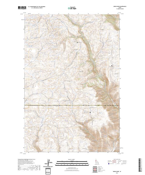
2024 Map of Green Knob
USGS Topo · Published 2024About this map
Little Potlatch Creek carves a deep north-south corridor through this landscape on the border of Latah and Nez Perce counties. The terrain is defined by elevated plateaus and steep grades, most notably Fix Ridge and the prominent Green Knob summit. Settlement patterns are characterized by family-named roads and remote burial sites, which suggest a long history of dryland farming and ranching on the high ground above the canyons. Genealogists will find several specific local landmarks, including the Overacker Cem near Wardrobe Ln and the Maggie Williams Cem further south. The network of winding routes like Coyote Grade and Genesee-Juliaetta Rd follow the natural topography, connecting the disparate homesteads and ridges that overlook Catholic Creek and Howard Gulch.
Find a feature on this map
37 named features on this map. Tap any name to fly to it.
Don’t see what you’re looking for? This feature index may not catch every label — zoom into the map to look around manually.
Map Details
Editions of this 2024 Green Knob Map
This is the sole edition of this map. No revisions or reprints were ever made.
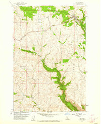
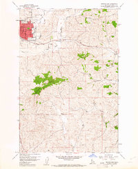
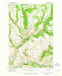
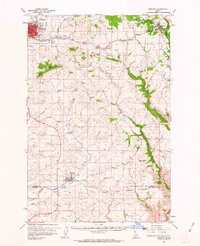
Other maps of this area

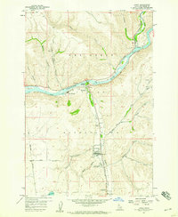
1955 · Pullman
USGS Topo · 1:250,000

1958 · Pullman
USGS Topo · 1:250,000
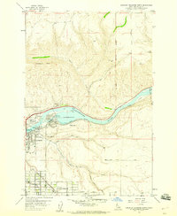
1958 · Lapwai
USGS Topo · 1:24,000
1958 · Lewiston Orchards North
USGS Topo · 1:24,000

1958 · Lewiston Orchards
USGS Topo · 1:62,500
1958 · Culdesac
USGS Topo · 1:62,500
1960 · Troy
USGS Topo · 1:24,000
1960 · Moscow East
USGS Topo · 1:24,000
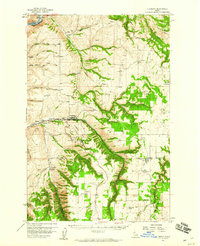
1961 · Kendrick
USGS Topo · 1:62,500
1961 · Moscow
USGS Topo · 1:62,500