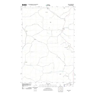
2011 Map of Viola
USGS Topo · Published 2011About this map
Angel Butte and Randall Butte anchor the northern reaches of this landscape straddling the Idaho-Washington border, where the grain-growing Palouse region rises toward the timbered Palouse Range. The settlement of Viola serves as a central hub, situated along Fourmile Creek at the intersection of several regional thoroughfares including Viola Rd and Potter Rd. The map illustrates a dense network of farm-to-market roads that connect small agricultural outposts and historical loading points. To the south, Missouri Flat Creek winds through the drainage near Whelan and Estes, defining the local topography. This 2011 survey documents the persistent rural character of the area, noting smaller locales like Ringo, Fallon, and Madson that underscore the decentralized nature of the early 21st-century farming economy in this borderland.
Find a feature on this map
54 named features on this map. Tap any name to fly to it.
Don’t see what you’re looking for? This feature index may not catch every label — zoom into the map to look around manually.
Map Details
Editions of this 2011 Viola Map
This is the sole edition of this map. No revisions or reprints were ever made.
Other maps of this area

1910 · Pullman
USGS Topo · 1:125,000

1955 · Pullman
USGS Topo · 1:250,000

1958 · Pullman
USGS Topo · 1:250,000

1960 · Robinson Lake
USGS Topo · 1:24,000

1960 · Moscow East
USGS Topo · 1:24,000

1960 · Potlatch
USGS Topo · 1:62,500

1961 · Moscow
USGS Topo · 1:62,500

1964 · Viola
USGS Topo · 1:24,000

1964 · Elberton
USGS Topo · 1:24,000

1964 · Moscow West
USGS Topo · 1:24,000