2023 Map of Albion
USGS Topo · Published 2023About this map
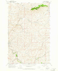
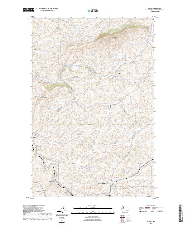
The rolling hills of the Palouse region define this area of Whitman County, where the South Fork Palouse River and several tributary creeks have shaped the agricultural landscape. The small town of Albion sits centrally along the river, connected by a network of rural routes like Palouse Albion Rd and Pullman Albion Rd. Prominent topographical features such as Kamiak Butte and Smoot Hill rise above the surrounding farmland, providing clear vantage points across the drainage basins of Fourmile Creek and Missouri Flat Creek.
Find a feature on this map
47 named features on this map. Tap any name to fly to it.
Don’t see what you’re looking for? This feature index may not catch every label — zoom into the map to look around manually.
Map Details
Editions of this 2023 Albion Map
This is the sole edition of this map. No revisions or reprints were ever made.