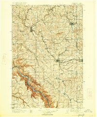
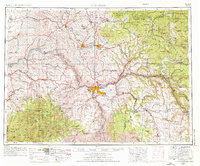
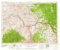
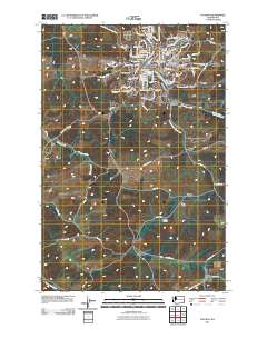
1910 Map of Pullman
USGS Topo · Published 1926About this map
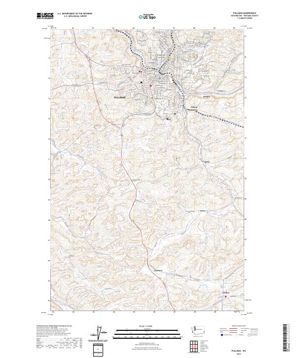
Pullman and Moscow anchor this regional study of the Palouse hills, illustrating the early development of the State College of Washington and the University of Idaho across the state line. The landscape is defined by the agricultural plateaus of Spring Flat and Rebel Flat, deeply incised by the North Fork Palouse River and its tributaries. To the south, the terrain drops dramatically into the Snake River canyon, where prominent landmarks like Granite Pt and Bishop Bar line the water's edge. The industrial and transit network of the early twentieth century is visible through the Oregon Railroad and Navigation Co and Northern Pacific Railroad lines, which connect numerous small settlements and post offices such as Guy Albion P O and Elberton. A specialized Tramway near the river suggests the logistical challenges of moving goods from the high canyon rims down to the water.
Find a feature on this map
77 named features on this map. Tap any name to fly to it.
Don’t see what you’re looking for? This feature index may not catch every label — zoom into the map to look around manually.
Map Details
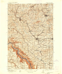
Editions of this 1910 Pullman Map
5 editions found

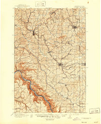
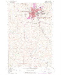
Historical Maps of Pullman Through Time
11 maps found
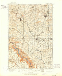
1910 Pullman
Whitman County, WA
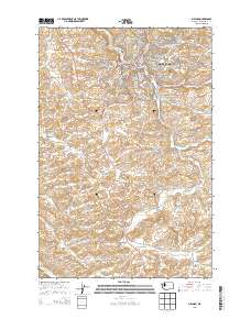
1955 Pullman
Whitman County, WA
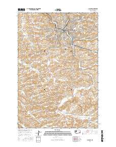
1958 Pullman
Whitman County, WA
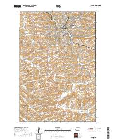
1964 Pullman
Whitman County, WA
1975 Pullman
Whitman County, WA

1982 Pullman
Whitman County, WA
2011 Pullman
Whitman County, WA
2013 Pullman
Whitman County, WA
2017 Pullman
Whitman County, WA
2020 Pullman
Whitman County, WA
2023 Pullman
Whitman County, WA